The Ashes, first Test, day two live: Australia all out for 132, trailing England by 40 runs
The Ashes 2025: Australia v England cricket day 2 scores, results, wickets, teams, time, schedule, how to watch
The Ashes, first Test, day two live: Australia all out for 132, but Starc strikes back
We’re sorry, this feature is currently unavailable. We’re working to restore it. Please try again later.
DismissSkip to sections navigationSkip to contentSkip to footer
By Jon Pierik
Updated November 22, 2025 — 2.08pmfirst published at 12.31pm
Normal text sizeLarger text sizeVery large text size
Key posts
Hide key posts
2.08pm
Pressure on Boland
Scott Boland was wicketless and went for 62 off his 10 overs in England’s first innings. His direction was not great, and he needed to dig the ball in more. Steve Smith has expressed confidence in him by still giving him the new ball. Let’s see how he responds. Ollie Pope joins Ben Duckett at the crease.
2.05pm
Starc strikes
Zak Crawley may have survived the hat-trick delivery, but he has fallen fifth ball to a brilliant caught and bowled by Starc. The fast bowler snapped up the catch with an out-stretched left hand. The catch was reviewed – the ball brushes the turf after Starc takes possession – but it’s clean. Crawley goes for a pair. England are 1-0.
Another Test wicket in his opening over for Starc.
1.59pm
Crawley survives hat-trick delivery
Mitchell Starc has three slips and a gully but his delivery across the front leg of Zak Crawley goes straight to Alex Carey behind the stumps.
England can breathe easy … for now.
1.58pm
Starc on a hat-trick
Fast bowler Mitchell Starc destroyed England’s first innings, capturing 7-58, including Jamie Smith and Mark Wood with the final two deliveries of the innings, leaving him on a hat-trick …
Here we go … Starc has the new ball … and he takes aim at Zak Crawley, who is on a pair …
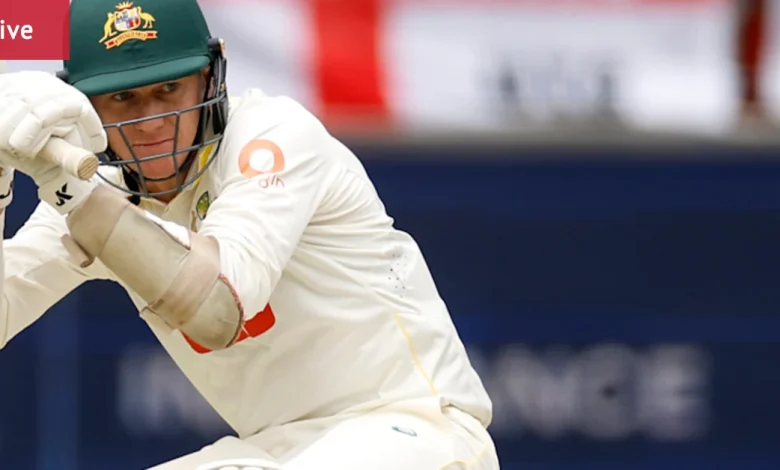
What a start: Mitchell Starc was brilliant on Friday.Credit: Getty Images
1.55pm
Ponting: Archer, Atkinson set the tone
Former Australian captain Ricky Ponting said England could not have bowled better.
“Brilliant bowling innings from England. Got off to a great start, Archer, Atkinson set the tone,” Ponting told Seven.
“Carse was impressive as well, played his role almost perfectly for England, and the captain Ben Stokes finishes his bowling innings picking up 5/23 from his six overs. 40-run lead to England.”
Pace ace: Mark Wood in action on Saturday.Credit: Getty Images
1.52pm
What Andrew Wu says
Nathan Lyon has sliced Brydon Carse to gully and is out for four. Australia are all out for 132, a deficit of 40. That is a very handy lead for England in a low-scoring game.
To put it in context, Australia’s top four made 28 between them. The game is now perfectly placed for England, who can attack more freely knowing they are ahead of the game. And a reminder to everyone: Mitchell Starc is on a hat-trick.
1.48pm
And that’s it …
Australia have been bowled out for 132, Nathan Lyon (four) edging Brydan Carse to Ben Duckett at gully. England have a lead of 40 runs.
1.45pm
Wu: Aussies eke out precious runs
Nathan Lyon and Brendan Doggett have eked out nine precious runs this morning. It’s the fourth-highest partnership of the innings. I’m not sure if this is necessarily a positive for Australia in that it shows the pitch may not be as spicy as it was yesterday.
Given a life: Brendan Doggett at the crease on day two.Credit: Getty Images
Then again, runs are crucial. Australia’s last-wicket pairing showed similar resistance on the second morning last year, and India later capitalised on the improved conditions with a massive total in the third innings.
1.32pm
Doggett given a life
Brendan Doggett has been given a life at short leg, a bunted pull shot grassed by Ollie Pope off Mark Wood. Doggett was on two.
1.21pm
Here’s what Andrew Wu has to say
All is in readiness on day two – could it be the second and final day of the game? After the events of yesterday, I wouldn’t rule it out. The Australians are 9-123, still 49 behind. How long can Brendan Doggett and Nathan Lyon hold out England’s demon quicks? Runs are invaluable in what has been a low-scoring game, but so too is health, and Australia can ill afford to lose a player to a nasty bouncer. The crowd looks strong and skies overcast, but no rain is around for now.
Most Viewed in Sport
Loading
Back to top