Australians have woken up to teeth-chattering lows on Wednesday morning, with several parts of the country plunging to 0C.
Canberra still felt like -2C at 7am despite having warmed up a degree after dropping to 0C in the early hours of the morning.
While Sydneysiders escaped single-digit temperatures, hitting a minimum of 12C, those in western parts of NSW, like Orange and Griffith, were greeted with icy lows of 1C and 4C, respectively.
“You might have thought those temperatures were behind us for winter, but it (is) an icy, frosty start for the Central and Southern Tablelands, the Snowy Mountains and around the ACT,” meteorologist Angus Hines said.
“After the cool morning, the good news is a fine, sunny and settled day with barely a puff of wind.
“A very pleasant 22C afternoon is expected in Sydney, with 20C the high in Canberra.”
Parts of Victoria were also gripped by freezing conditions early on Wednesday morning, with the mercury plunging to 0C in east Wangaratta and 2C in Ballarat, while Melbournians shivered through a minimum of 7C.
Frost was expected through the hills and mountains, though it would later turn into a bright, sunny, and mostly dry afternoon across the state, Mr Hines said.
“It will be a cool start but a fine day across the eastern mainland, with a high-pressure area settling in and bringing sunny skies from Victoria up to Queensland,” he sad.
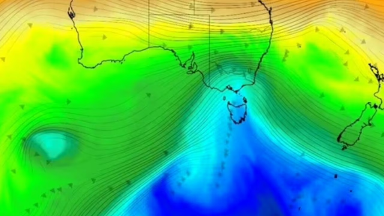
“Further south, windy westerlies and showers for Tasmania.
Out to the west, conditions are fine along the coast, but there is a lot of stormy weather over inland parts of the state.”
Frost, fire warnings
Australians are facing a mix of storms, strong winds, frosts and fire hazards across the country this week, even as much of the east enjoys brief sunny spells, according to the Bureau of Meteorology.
NSW remains on high alert, with a gale warning for the Sydney, Illawarra, Batemans, Eden, and Coffs coasts, and strong wind warnings for Sydney, Macquarie Coast and Hunter Coast.
Ahead of an approaching cold front, extreme fire danger has been forecast for the Greater Hunter and Upper Central West Plains districts. The NSW Rural Fire Service has urged residents to action their Bushfire Survival Plans.
South East Queensland has enjoyed a short break after weeks of damaging thunderstorms, hail, and strong winds.
However, Bureau forecaster Angus Hines warned unsettled conditions could return later in the week.
“It’s not until Friday that we will see a bit of a shift of fortunes for South East Queensland, with a return of showers and potentially stormy conditions,” Mr Hines said.
“During the course of the weekend, thunderstorms seem distinctly possible both Saturday and Sunday.
“But it’s a little too early to put on the risk that we could see those severe storms like we have in multiple different bouts over the past.”
Gale warnings remain for the East Gippsland Coast, with strong wind warnings for the West Coast, Central Coast and Central Gippsland Coast. Snow and icy conditions are likely in highland areas.
Tasmania is expected to face frequent showers and strong winds on Wednesday, with snow down to 400 metres on the Western and Central Plateau.
Hobart and Launceston will see lighter rainfall totals, though wind gusts may make conditions hazardous.
Bushwalking and road weather alerts are in place for affected areas.
WA’s inland regions are at risk of thunderstorms over the coming days, some of which could be severe, bringing heavy rain, large hail, and damaging winds that may affect outback roads. Coastal areas will remain fine.
In the NT, extreme fire danger has been forecast for the Barkly North district, while Darwin and the Top End coastline may see some showers. Long periods of dry, sunny weather are expected for central areas.
Across much of eastern Australia, settled, sunny conditions will provide a break from the recent unsettled weather.
Queensland’s temperatures are mostly seasonal, though slightly warmer than average in the northeast, with only isolated showers north of Mackay and along the tropical coast.
Weatherzone meteorologist Ben Domensino said a cold Southern Ocean air mass was driving the unsettled conditions.
“A bend in the polar jet stream is allowing a large pool of cold Southern Ocean air to sweep across southeastern Australia this week,” Mr Domensino said.
“This cold air mass is causing temperatures to plummet in several states and territories, while also producing a wintry mix of cloud, rain, snow, and small hail.”
Read related topics:Weather