A rare weather phenomenon is bringing severe cold to Ontario next month, here’s what you need to know
What to know
- A rare sudden stratospheric warming event is weakening the polar vortex and pushing extreme northern air toward Canada earlier than usual.
- The phenomenon has only happened in November three times in 70 years, and could bring below-seasonal temperatures and early winter storms.
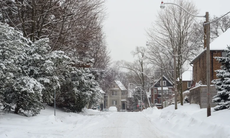
- Ontario won’t see Prairie-level lows but is expected to face wind chills in the negative double digits and more frequent snow events.
- Meteorologists urge Ontarians to prepare now by monitoring forecasts, pulling out winter gear and switching to winter tires.
A meteorologist is warning Ontarians to dust off their jackets and start preparing, as an extreme atmospheric warming event will be bringing severely cold weather next month.
On Wednesday, a forecast published by The Weather Network revealed that Earth’s polar vortex is being disrupted by an event which will bring extreme temperatures down to Canada in just a few weeks.
Rachel Modestino, a meteorologist at The Weather Network, tells Now Toronto that the polar vortex is some of the northern hemisphere’s coldest air, which is bottlenecked up around the North Pole.
When this polar vortex is strong, with strong winds and jet streams around it, it gets contained within the poles. However, whenever the polar vortex is weak, the winds are not enough to hold it at the poles, displacing the extreme temperatures down to Canada.
“What is already happening is a sudden stratospheric warming event. What that means is the temperatures are spiking, especially over places like Alaska and over the North Pole, and what that contributes to is a disruption in the atmosphere,” she explained.
“What we’re looking at is the polar vortex weakening and also displacing. So ,what that means is we could see the polar vortex making more of a trajectory towards Canadians, especially as we head into December.”
Although polar vortex’ displacements can happen any winter, Modestino says this year, this sudden warming event is making the colder temperatures hit earlier. According to Modestino, this event has only been registered in November three times in the past 70 years.
WHAT DOES IT MEAN FOR ONTARIANS?
Polar vortex displacements usually bring extreme cold temperatures to Canada from coast to coast, including bringing temperatures down to the negative forties and fifties in the Canadian prairies.
In Ontario, Modestino explains that the relatively warmer waters from the Great Lakes help moderate the arctic air, keeping temperatures from reaching such extreme levels. However, Ontarians will still feel the effects of the phenomenon, with temperatures reaching below-seasonal levels, with feel values in the negative double digits.
The meteorologist says that it is almost certain that Ontario will feel the chilling event, although it is still too early to determine how long the colder temperatures will last, which could be for most of December.
The event could also bring active weather, including significant rain or snowfall, which Modestino says meteorologists are still monitoring.
“We’ve already seen our first snow event across the GTA, and we will likely see more of this, more of those events throughout this winter month, especially because since we are predicting these colder air outbreaks across the Great Lakes, we will be looking at some snowy snow belts this year as well.”
HOW CAN ONTARIANS PREPARE?
With meteorologists still working to understand the effects of the phenomenon, Modestino says it is important that Ontarians keep an eye out for upcoming forecasts in the next few weeks and throughout December.
The expert also says now might be the perfect time to get ready for winter time by preparing winter gear and switching to winter tires in the next couple of weeks.
“Dusting off the boots, dusting off the winter jackets, the hats, the mitts, getting all of those up and ready before December also helps, and also making sure that the winter tires are on,” she said.
Read More
The Weather Network is releasing its full winter forecast on Nov. 26, which will include more information about the polar vortex and its impacts.