Perhaps the question meteorologists are asked most often this time of year is what the upcoming winter will bring. Still, others scoff at the idea that weather predictions can be made months in advance.
A seasonal outlook is different than a day-to-day weather forecast. In a long-term climate outlook, we’re looking for general trends and patterns in the months ahead, not specifics as we would in a 10-day forecast.
When I speak with students at local schools about weather forecasting, I explain it’s a lot like trying to predict the outcome of a sports game. We know who the players are on the field (the climate drivers that influence our weather patterns), but the outcome of the game (actual weather) doesn’t always end up the way we think it will.
Every forecast has a different confidence level. To use the sports analogy, confidence in the Patriots beating the Jets is a lot higher than the Patriots winning against the Chiefs. If the players on one team are clearly stronger than the other, we have higher confidence in the outcome of the game. Likewise, if the climate drivers overwhelmingly point toward one weather pattern, we can have higher confidence in the outcome. If there are mixed signals (a competitive matchup), however, that reduces confidence in the outcome.
This upcoming winter falls in the latter category. Mixed signals abound, which makes this winter outlook more challenging than usual. But it’s our job to make sense of it and predict the outcome to the best of our ability. Let’s dive into it. A heads up, this is going to get scientifically technical. If you just want the winter outlook without an in-depth explanation, feel free to scroll to the bottom of the article.
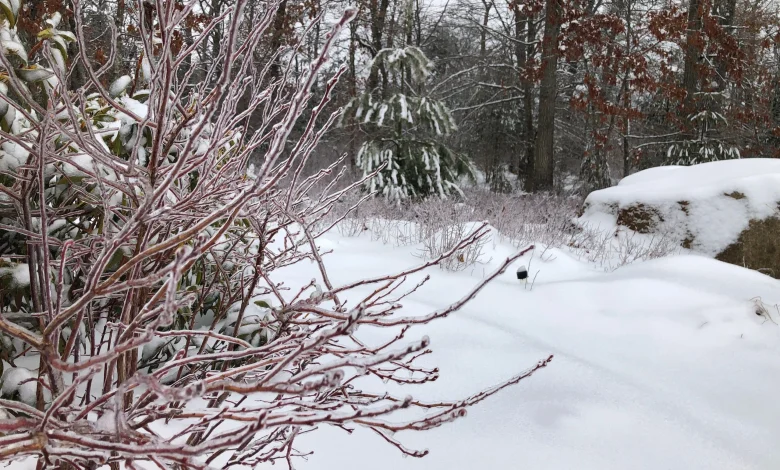
We’re in a snow drought in Southern New England. Historically, average seasonal snowfall in the Providence area is 36 inches, but the last three winters all brought well below-average snowfall to the region. Last winter was cold but dry, with only 15.6 inches of snow at T.F. Green. In last year’s winter outlook, I predicted 8 to 12 inches of snow, which was not far off from reality.
Southern New England has been in a snow drought the last few winters, with significantly less snow than our average of 36 inches in the Providence area. (WJAR)
Our winter outlook starts with an examination of the Pacific. The Pacific Ocean is the largest body of water on Earth, and as a result, it has the biggest impact on our climate. This will be the second winter in a row that the Pacific Ocean is in a La Niña state. Sea surface temperatures are cooler-than-average near the equator in the Pacific. Water temperatures are just slightly cooler than average, however, which makes this a weak La Niña.
La Niña refers to cooler than average water temperatures near the equator in the Pacific. (WJAR){p}{/p}
La Niña influences the jet stream pattern over the U.S., with a ridge often bringing milder weather in the southeast and mid-Atlantic for much of the winter, and colder weather focused across the Midwest. That leaves New England in a battleground between colder weather inland and milder weather southeast. In terms of snowfall, weak La Niña years tend to bring near-average to slightly below-average snowfall in Southern New England.
A winter La Nina weather pattern tends to bring dry, mild weather to the southeastern U.S., with colder and snowier weather focused across the Midwest, leaving New England in a battleground between airmasses. (WJAR)
Separately, we also look at what’s happening in the North Pacific. In fall 2025, the warmest water relative to average is found in the central North Pacific, while water temperatures are cooler relative to average towards Alaska. Climatologists refer to this as a negative PDO (Pacific Decadal Oscillation) regime. Earlier this year in July, the PDO reached the most negative value on record.
The Pacific Decadal Oscillation (PDO) is strongly negative this year, which tends to favor milder weather in the eastern U.S. (WJAR){p}{/p}
This pattern tends to bring milder weather to the East Coast of the U.S. in the winter months. The last several winters had this same strongly negative PDO pattern, which likely played a role in our less snowy winters.
Another climate driver we look at for winter outlooks is the QBO (Quasi-Biennial Oscillation). This one is tougher to understand, but put simply, it refers to the direction of the stratospheric winds. This winter, Earth is in an easterly QBO. This pattern tends to weaken the polar vortex. A weaker polar vortex is more likely to send cold shots of air into the mid-latitudes, which includes where we live in Southern New England. More cold equals more chances for snow.
An easterly QBO (Quasi-Biennial Oscillation) can weaken the polar vortex and make it more likely for cold air masses to reach New England. (WJAR){p}{/p}
Recent research by Dr. Judah Cohen shows that above-average snow cover extent across Siberia in October tends to be followed by a colder and snowier winter in New England. This year’s October Siberian snowpack came in near average, so this won’t have much of an impact on our winter outlook.
If you’re still with me, you’ll note we have one climate driver working in favor of a milder winter (negative PDO), one in favor of a colder winter (easterly QBO), and two that are more neutral (La Niña and Siberian snowpack). Mixed signals. Other factors, including the North Atlantic Oscillation (NAO), Arctic Oscillation (AO), and Eastern Pacific Oscillation (EPO) are tougher to predict more than a few weeks out, so they’re not much use for a winter outlook created in early November.
The two winters in the past decade with climate drivers most similar to this upcoming winter were 2017-2018 and 2021-2022, but don’t count on an exact repeat of those winters this year. (WJAR){p}{/p}
Climatologists often review analogs, which are prior winters with a similar mix of climate factors, to better understand what the upcoming winter could bring. When I looked for an analog for this upcoming winter, I looked for recent winters that had a negative PDO, an Easterly QBO, and were the second in a row with La Niña. The two closest analogs in the past decade were 2017-2018 and 2021-2022.
The winter of 2017-2018 began with a bitterly cold December/early January, followed by an unseasonably mild February, and then flipped back to a cold March. Total snowfall in 2017-2018 at PVD was 49.8 inches, which was a snowier-than-average winter. Total snowfall in 2021-2022 was 43.5 inches, also snowier than average.
Every winter is different, however, and we can’t count on an exact repeat of 2017-2018 or 2021-2022. For one thing, the world is warming. It stands to reason that a warmer world will be one in which snowstorms become increasingly rare. That’s not to say we will never have a snowier-than-average winter again, but it would likely take a perfect storm of favorable climate drivers for that to happen. That’s not what we have this winter.
Putting it all together, I expect this winter will be snowier than recent winters, but still slightly below average when compared with the long-term average. I predict total winter snowfall in 2025-2026 in the Providence area to reach 28 to 32 inches, slightly less than the historical average of 36 inches. Considering the last three winters each had less than 20 inches of snow, 28 to 32 inches would feel like a lot, even if it’s slightly below our long-term average.
Expect 28 to 32 inches of snow in the Providence area this winter, which is slightly below the average of 36 inches. The Worcester Hills likely do quite well, with above average snow expected there. (WJAR){p}{/p}
Winter likely gets off to a fast start with a colder and snowier-than-average December. We’re already seeing signs of a cold weather pattern in December, so this is one aspect of the forecast where we have higher confidence. As a result, Southern New England has a higher than usual chance for a white Christmas. Historically, our White Christmas chance in Providence is just 17% , but this year it’s much higher. January will be a changeable month, with a January thaw likely. February likely ends up milder than average, but we still can’t rule out one or two snowfalls. Winter temperatures likely end up near average, with the cold December being balanced out by a milder February.
Expect near to slightly below average snowfall and near to slightly below average temperatures in Southern New England this winter.{ } (WJAR)
A final note, La Niña winters do tend to produce more snow than average in the interior across central and northern New England, so the Worcester Hills into New Hampshire and Vermont likely see a snowy winter. Great news for skiers and riders!