Get the free Morning Headlines email for news from our reporters across the world
Sign up to our free Morning Headlines email
Sign up to our free Morning Headlines email
Heavy rain is expected across parts of the UK for the next two days as a yellow weather warning has been issued by the Met Office alongside several flood alerts.
Following recent spells of wet weather, the rain is set to become more persistent and widespread once again, with the weather warning issued from midday on Tuesday to 8am on Wednesday.
The areas covered by the warning are Wales and parts of south-west England including Cornwall, Devon, Gloucestershire, Plymouth and Torbay.
The government has issued 11 flood warnings – meaning flooding is expected – for areas such as Brampton, Keswick, Carlisle, Warwick Holmes. Another 33 flood alerts, meaning flooding is possible, are also in place. More information can be found on the GOV.UK website.
open image in gallery
The Met Office has issued yellow weather warnings for Tuesday and Wednesday (Met Office)
A Met Office spokesperson said: “Breezy but mild weather continues this week with some heavy rain developing in places. Rain is expected to turn heavier during Tuesday afternoon with yellow warnings in place for parts of the South West and southern Wales until Wednesday morning, where 20 to 40mm of rain is expected widely.
“Some exposed south-facing hills of the Brecon Beacons and Dartmoor could see more than 50mm, with stronger winds expected on exposed coasts. Wednesday looks to bring a more settled picture, with autumnal showers and mild temperatures.”
The Met Office said drivers can expect journey times to be longer due to spray and flooding on roads, and public transport such as bus and train services are likely to be affected.
People are advised to check road conditions if driving, or bus and train timetables, to have the best chance of avoiding delays. They are also advised to amend travel plans if necessary.
The forecaster added that those living in an area covered by the weather warning should check if they could be at risk of flooding, and prepare a plan and emergency kit accordingly.
In case of power cuts, people are urged to carry torches, batteries, a mobile phone power bank and other essential items.
The Met Office recommends staying up to date with the latest weather forecast and flood alerts, and being prepared for conditions to change rapidly.
open image in gallery
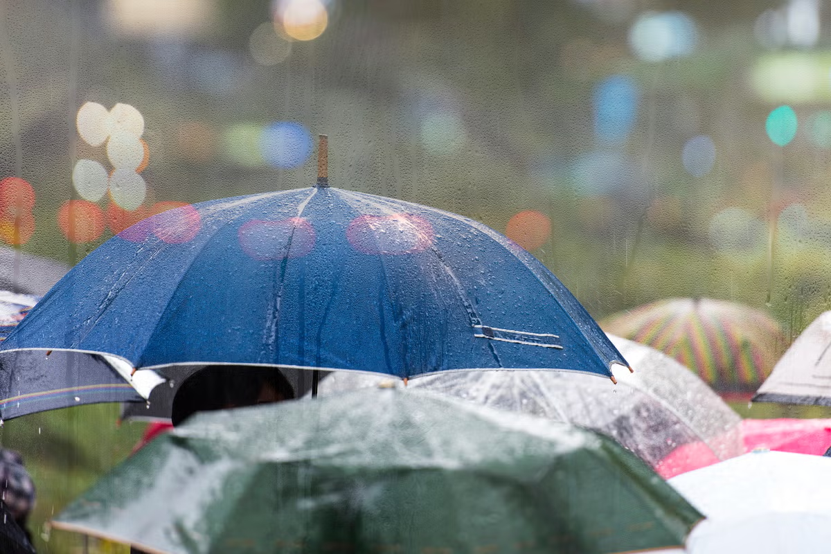
Forecasters predict 20 to 40mm of rain across the country (Getty/iStock)
The Met Office’s tips for staying safe in heavy rain
- Checking if your property could be at risk of flooding using this guideline.
- Follow flood advice in your area using these organisations and keeping your mobile phones charged.
- Assessing whether it is safe for you to drive: avoid driving if possible and make sure to park outside the flood zone. If you have to drive, be sure to slow down, use main roads, dipped headlights, give yourself more time to react to slippery surfaces and keep a bigger gap between vehicles.
- Prepare a flood kit: It is not safe to drive or walk or swim through floodwater, avoid it where possible and if you are affected by fast flowing or deep water call 999 and wait for help. Store valuables up high, including electrical devices, important documents and furniture and turn off gas water and electricity supplies.
- Thinking about your neighbour: If you are worried about your health or that of somebody you know, ring NHS 111. Help to protect the vulnerable people that you know, including older people, those with underlying conditions and those who live alone: they may need support with food and medical supplies.
If you are trapped in a building by floodwater, you are advised to go to the highest level in the building (only go to a roof if necessary) and call 999 and wait for help. Avoid attic spaces to prevent being trapped by rising water.