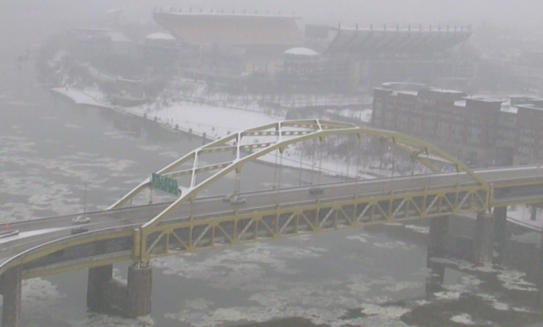
Will Pittsburgh’s winter be snowy and cold? Here’s the 2025 winter weather forecast.

We are now firmly into November, and that means it’s time for the 2025-26 KDKA Winter Forecast. How much snow will we get? How cold will it be? Will we have a white Christmas?
The entire KDKA First Alert Weather team crunched the numbers to see what’s in store for this winter.
Reviewing last year’s winter forecast
We always like to start our winter forecast by reviewing last year’s performance. We told you we were expecting more snow than the previous winter but less than average, and that’s precisely how the forecast worked out.
We got almost twice as much as the previous winter with 34 inches of total snowfall, but we fell short of the average by about 10 inches.
Month by month, we were spot on, except for January. That was the month our forecast fell short. We always tell you one or two systems can mean big swings in the totals, and that’s what happened.
We called for 10 inches in January but got 15 inches.
Overall, it was still a successful winter forecast.
In the end, we called for 28 inches and ended up with 34, largely because of the slightly snowier-than-expected January.
This year’s set-up
For wintertime forecasting in North America, we mainly focus on sea surface temperature anomalies in the Pacific Ocean and how they influence the position and strength of the jet stream.
This winter, we’re expecting a weak La Niña or slightly cooler-than-normal waters over the equatorial Pacific Ocean to transition to neutral conditions.
This weak La Niña, coinciding with a blob of extremely warm water over the north Pacific and slightly cooler-than-normal waters in the Gulf of Alaska, will lead to the formation of frequent high-pressure ridges coinciding with warmer-than-normal temperatures in the north Pacific Ocean.
Frequent troughing and cooler-than-normal temperatures will occur downstream of this high over the northwestern to central United States, while another ridge of high pressure and unseasonably warm temperatures dominates in the southeast United States.
Western Pennsylvania will likely fall between these two areas, which means we should expect strong temperature swings accompanied by above-normal precipitation as an active jet stream moves across our area between these two dominant air masses.
Pittsburgh’s white Christmas forecast
We may all be dreaming of a white Christmas, but here in Pittsburgh, the odds aren’t exactly stacked in our favor.
By definition, a white Christmas means at least one inch of snow on the ground on Dec. 25. Statistically, our chances for that are only about 30%.
But a true storybook white Christmas where snow actually falls on Christmas day? That’s still rare, with only a 17% chance.
In 2022, we had a snow depth of exactly 1 inch on the ground, which then qualified.
And the snowiest Christmas Day on record happened not too long ago, back in 2020, when Pittsburgh picked up 5.1 inches of snow, breaking a record that had stood since 1935.
As for this year? It’s still too early to tell.
How cold will it be in the Pittsburgh area this winter?
When making a winter forecast, you don’t just use a couple of independent data points to make a decision.
A winter forecast is finding out what story all the data tells together.
As we already told you, we expect a weak La Niña to settle in for the winter. This would normally make forecasters think warmer-than-normal temperatures.
It doesn’t look like that will be the case this year, though, as other teleconnections, which are fancy descriptors for global wind patterns, lead us to believe that we will likely see several powerful blasts of arctic air.
There’s going to be a lot of mentions of the dreaded Polar Vortex come January and February, but overall temperatures will range from near average to around 2 degrees below average.
That would put us at the second coldest winter of the last five years, just behind last winter.
How much snow will the Pittsburgh area see this winter?
The snow season looks to start near average with 2 inches possible in November.
Winter officially begins in December, but the snow forecast is calling for a little more than an inch below average, with 4 inches forecast for the month.
Winter looks like it will kick into gear for what are traditionally our snowiest months.
We’re calling for both January and February to come in near average. Fourteen inches is predicted for January, with February looking to get 11 inches.
Spring may try to sneak in on time, but not before another 5 inches in March, which is a couple of inches below normal.
April is usually good for a final inch of snow, and that’s what we’re calling for.
When all is said and done, we’re looking to get a little more snow than last winter but still stay below the 41.9″ average. At the end of this snow season, we’re calling for a total of 37″ of snow.


