A school bus (File)
UPDATE: Some buses are still running in the North Peace. See the list of bus routes and their current status here: https://www.prn.bc.ca/district/facilities-transportation/
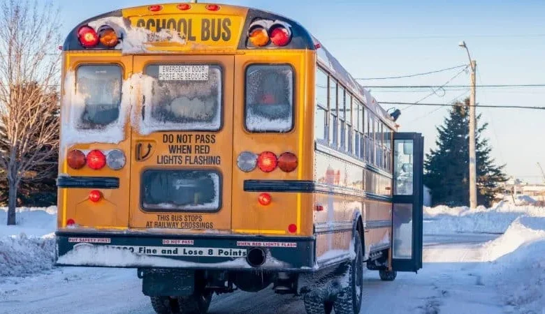
FORT ST. JOHN, B.C. — School buses are cancelled across both School District 60 (Peace River North) and School District 59 (Peace River South) this morning due to snowfall and freezing rain that has created poor driving conditions throughout the Peace Region.
SD59 was the first to announce that all buses would be cancelled for the day.
SD60 issued a similar advisory shortly afterward, noting that while schools remain open, buses will not be running.
Schools in both regions remain open.
Environment Canada issued a freezing rain warning for part of the South Peace early Monday morning, including near Highway 52 to Tumbler Ridge. The warning has since ended, but forecasters say icy surfaces may still be present on highways and untreated roads as temperatures hover near the freezing mark.
Drivers are being urged to slow down and use caution.