A cold weather warning has been issued, with warnings of snow and ice as temperatures plummet.
It will be a gear change after a notably mild month so far, with temperatures much lower both by day and night.
Widespread cold conditions and some wintry hazards are expected across the country, and the UK Health Security Agency has issued a cold weather warning for parts of England from Monday.
Temperatures will be more than 10C lower this week Credit: PA
How low will temperatures be?
There will be a nationwide drop in temperature and it will feel stark after a milder than average few weeks.
Temperatures have been way above those you’d expect for November with highs of 16-18C in many places last week.
This week temperatures will be more than 10C lower and nearer 6-8C in places.
Together with brisk north winds, more so across central and eastern areas, there’ll be a biting wind-chill enhancing the cold feel.
Temperatures will slip lower overnight. It’ll be below freezing for many, with some getting their first frosts of the season.
Expect temperatures to drop as low as -6C and -7C in sheltered spots of rural Scotland.
Where there is any standing water, it will freeze, leaving ice, which is possible anywhere.
Scotland and northern England are likely to see snow first Credit: Met Office
Who will be affected by the weather warning?
The UK Health Security Agency has issued a yellow cold weather alert for parts of the Midlands and northern England.
The alert is in place from 8am on Monday until 8am Friday and covers the East Midlands, West Midlands, North East, North West and Yorkshire and the Humber.
It means there could be a significant impact on health and social care services across those areas, including a rise in deaths, particularly among those over 65.
Subscribe free to our weekly newsletter for exclusive and original coverage from ITV News. Direct to your inbox every Friday morning.
Is this related to the cold, snowy weather in the US?
There is a huge and severe plunge of colder air currently blighting the northeast of the US with snow, blizzards and bitter winds – but this is unrelated to our feed of colder air directly from the Arctic.
Such cold air would not survive the journey from the west, across the Atlantic.
When the UK gets cold air, it is either from the north or the east.
Hills and higher ground of northern England, Wales and England will see sleet and snow later in the week Credit: Met Office
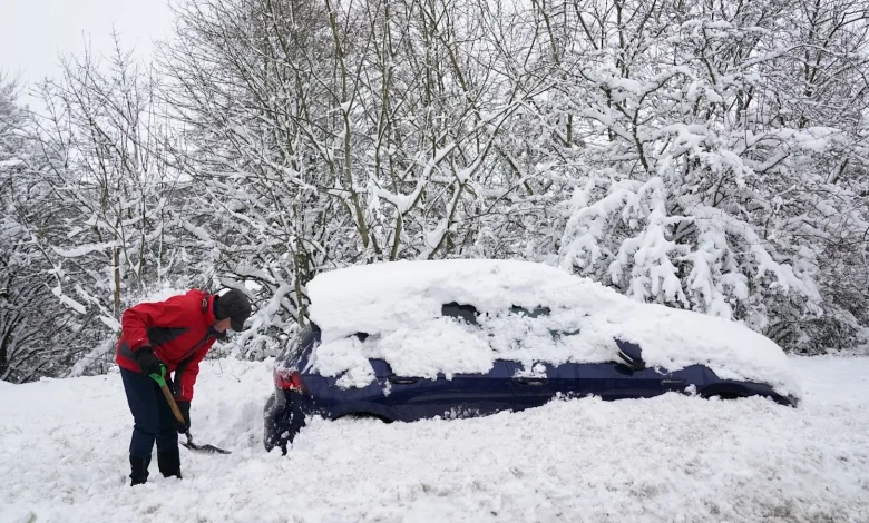
Will we get snow?
This will be the first colder spell of the season and given it’s now late November, there’s a higher chance of sleet and snow.
As showers blow in on bitter north winds there will be sleet and snow in places – mostly across northern areas and higher ground.
Scotland and northern England will be most prone as we start the week, with northern and eastern areas at higher risk.
Rain is forecast to move from north to south on Tuesday, with most hills and higher ground of northern England, Wales and England seeing sleet and snow.
Together with the cold air, there will be crisp, clear skies and some sunshine from time to time.
How long will this cold episode last?
At this stage, it’s looking to stay cold through the week, with wintry hazards forecast both by day and night. Expect weather warnings to be issued for ice and snow.
It’ll stay cold into the start of the weekend – and as rain heads in, it’ll be preceded by wintry conditions with hill snow.
As the weekend wears on, there’ll be a gradual switch in the wind direction, introducing less chilly air from the west, and temperatures will start to recover.
Want a quick and expert briefing on the biggest news stories? Listen to our latest podcasts to find out What You Need To Know