Michael Mayer Doubful to Play in Week 13
Link copied to clipboard!
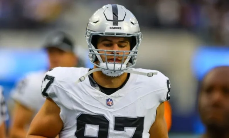
Las Vegas Raiders tight end Michael Mayer (ankle) is unlikely to suit up for Sunday’s Week 13 matchup against the Los Angeles Chargers. Mayer hasn’t been able to practice all week due to a lingering ankle issue. Head coach Pete Carroll said Mayer wasn’t moving well, so it seems unlikely that Mayer is going to suit up. His absence won’t be too significant with Brock Bowers healthy at the moment. Carter Runyon is likely to see more run behind Bowers, but he won’t be worth a look in fantasy formats. It remains to be seen if Mayer will be healthy enough to play against the Denver Broncos in Week 14.
Source: Ryan McFadden