What to expect for the upcoming fall weather season
A meteorologist shares the fall forecast for 2025. He explains which areas will transition to fall the quickest as well as what to expect with severe weather.
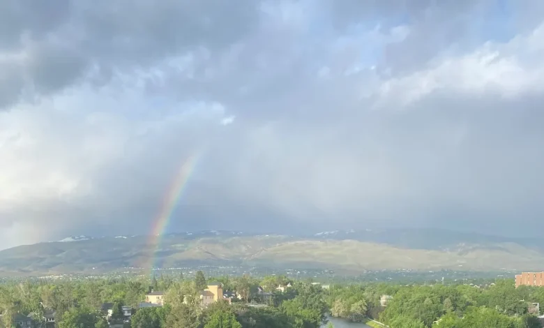
Western Nevada and the Sierra are set to see strong winds and scattered rain as a Pacific system moves inland late tonight through Wednesday, Nov. 5, according to the National Weather Service in Reno.
A high wind warning is in effect from 1 a.m. to 10 p.m. Wednesday for the Reno-Tahoe region. Gusts up to 70–80 mph are possible in wind-prone areas along U.S. 395, with ridgetop gusts exceeding 100 mph. Reno itself could see gusts near 45 mph Wednesday.
Damaging winds could down trees and power lines, and widespread outages are possible. Travel may be difficult for high-profile vehicles, according to NWS Reno.
On Lake Tahoe, winds could gust up to 45 mph, producing waves of 3 to 5 feet and creating hazardous conditions for small boats and paddlecraft.
Rain and high-elevation snow are likely Wednesday, mainly late morning through afternoon, with snow levels around 7,500 to 8,000 feet. The heaviest precipitation favors the western Sierra slopes and the Tahoe Basin/Alpine County, with lighter amounts reaching western Nevada.
Conditions begin to improve Wednesday night into Thursday as winds ease and skies clear. Calmer, warmer weather is expected into the weekend.
Reno weather Nov. 4-9
- Tuesday, Nov. 4: Mostly cloudy with a high near 69. South winds 10–15 mph, with gusts up to 25 mph. Low around 45.
- Wednesday, Nov. 5: Rain likely (60%). Partly sunny with a high near 61. Southwest winds 25–30 mph, gusts up to 45 mph. Low around 40.
- Thursday, Nov. 6: Mostly sunny and calmer with a high near 63. Low around 42.
- Friday, Nov. 7: Mostly sunny and warmer with a high near 67. Low around 40.
- Saturday, Nov. 8: Mostly sunny with a high near 67. Low around 42.
- Sunday, Nov. 9: Partly sunny and mild with a high near 70. Low around 42.
Tahoe weather Nov. 4-9
- Tuesday, Nov. 4: Mostly cloudy, highs around 65 at the lake and 55 in higher elevations. Winds 10–15 mph; ridge gusts up to 50 mph. Lows around 31-41.
- Wednesday, Nov. 5: Rain and snow likely with snow levels 8,000–8,500 feet. Highs near 50 at the lake and 45 in higher elevations. Winds 20–30 mph, gusts to 50 mph; ridge gusts up to 115 mph. Lows around 27-37.
- Thursday, Nov. 6: Mostly cloudy. Highs around 60 at the lake and 50 in higher elevations. Lows 30-40.
- Friday, Nov. 7: Partly cloudy. Highs near 62 at the lake and 52 in higher elevations. Lows 28-38.
- Saturday, Nov. 8: Partly cloudy. Highs around 66 at the lake and 56 in higher elevations. Lows around 32-42.
- Sunday, Nov. 9: Mostly cloudy with a slight chance of afternoon rain. Highs near 68 at the lake and 58 in higher elevations. Lows 32-42.
What is the weather over Donner Pass, I-80?
An active pattern returns midweek with rain and snow showers, gusty winds and snow levels generally above 7,500 feet. The heaviest rain is expected north of I-80. Little to no snow accumulation is expected Wednesday, though snow levels may briefly drop near 7,000 feet.
Gusts of 35–50 mph and wet roads could create slick travel conditions over the summit, NWS Sacramento said.
(This story was updated to add new information.)