COLUMBIA, S.C. (WIS) – Warm weather continues this weekend ahead of a significant cool down by the start of next week in the wake of a strong cold front.
wis(wis)
First Alert Headlines
- Well-above normal temperatures in the upper 70s on tap this weekend.
- An isolated shower or storm chance is possible this weekend with pair of fronts/
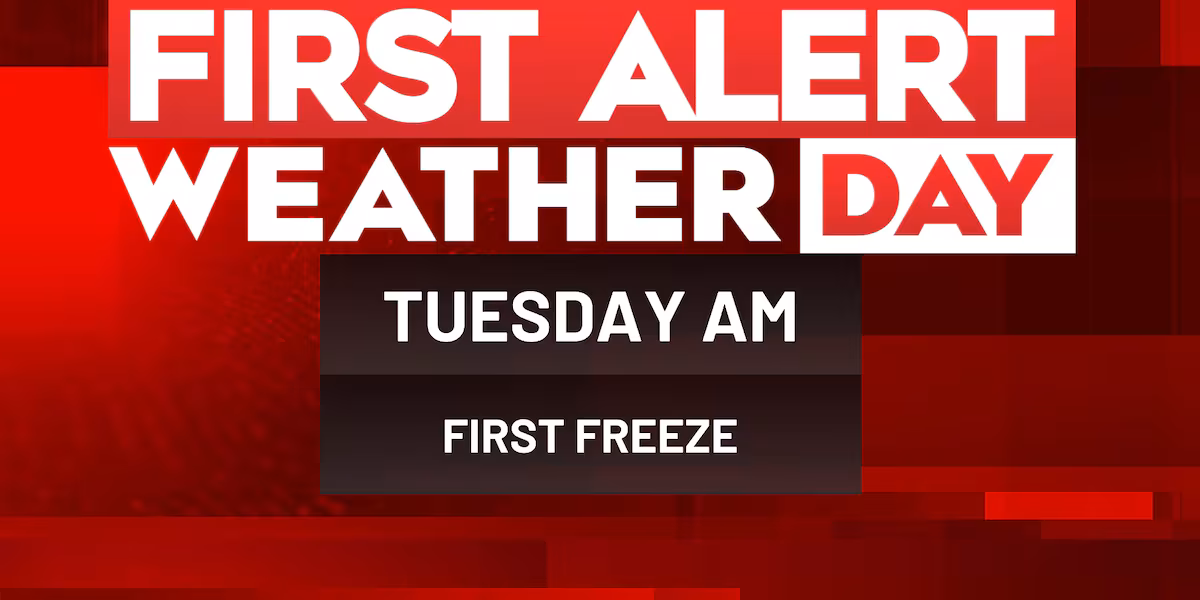
- First Alert Weather Day in place Tuesday morning for first freeze of the season.
First Alert Summary
A mostly quiet forecast is in store early this evening for those that have plans or area heading to a football game. Temperatures for Friday night football feature temperatures in the lower 60s all through the games. A stray shower or sprinkle can’t be ruled out, but the chance of rain early tonight is slim.
wis(wis)
Our first of two cold front will near the Midlands tonight. This could bring in a few isolated showers or a thunderstorm to parts of the Midlands overnight and into early Saturday morning.
wis(wis)
Saturday will be a warm day with well-above normal highs in the upper 70s to near 80-degrees. With our first front draped nearby, there will also be a chance of a few isolated showers or thunderstorms, mainly towards the evening and night.
wis(wis)wis(wis)
Our second cold front will arrive Sunday bringing big weather changes in the wake of it. Ahead of the front, temperatures are expected to rise back to the upper 70s in the afternoon. This front will also feature a slight chance of a passing shower or thunderstorm. Winds are forecast to pick up with the passage of the front with gusts up to 25-30 MPH.
wis(wis)
A much colder airmass will settle early next week behind Sunday’s strong cold front. Highs Monday will only reach the lower 50s with breezy winds likely. Temperatures will tumble below freezing to the upper 20s overnight into Tuesday morning. A First Alert Weather Day is in place Tuesday morning for the first freeze of the season.
wis(wis)
First Alert Forecast:
Tonight: Partly cloudy. Isolated shower or storm possible. Rain chance 30%. Lows in the upper 50s.
Saturday: Partly cloudy. Isolated shower or storm possible. Rain chance 20%. Highs in the upper 70s.
Sunday: Partly cloudy. Isolated shower or storm possible. Rain chance 20%. Highs in the upper 70s.
Monday: Mostly sunny. Cold and breezy. Highs in the lower 50s.
First Alert Weather Day (Veterans Day): Hard freeze in the morning. Mostly sunny. Highs in the lower 50s.
Wednesday: Sunny. Highs in the middle 60s.
wis(wis)
Feel more informed, prepared, and connected with WIS. For more free content like this, subscribe to our email newsletter, and download our apps. Have feedback that can help us improve? Click here.
Copyright 2025 WIS. All rights reserved.