A series of cold fronts will send our temps crashing this weekend from the 40s on Saturday to the 30s on Sunday. Expect rain and snow to arrive Saturday night and continuing on Sunday.
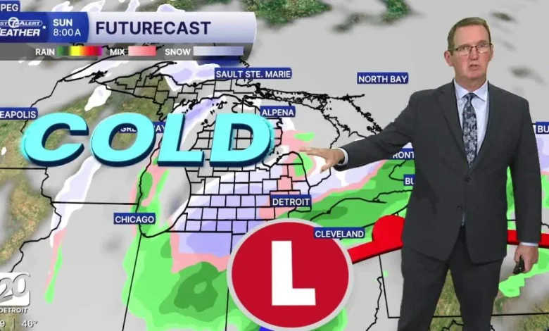
Saturday night a mix of rain and cold will change to more snow than rain north and west of a line from Port Huron to Pontiac, to Ann Arbor to Adrian by morning. Roads through Sunday morning should stay just wet in all areas. The snow should stick to the grass northwest of that same line, but not around Detroit and south.
Sunday night and Monday the coldest air of this system will move in with the chance of snow showers and wind chills dropping into the 20s by Monday morning.
The season’s first snow
Tonight: Clouds increase with a slight rain chance late. Lows in the mid to upper 30s. Winds: WNW 5-10 mph
Saturday: Clouds will increase and cooler air returns. Highs in the mid-40s and 47° in Detroit. Winds: N 5-10 mph.
Sunday: A winter-like day begins with temps falling and remaining in the mid to low 30s. Rain will mix with snow and could stick to the grass northwest of Detroit. Roads should stay only wet. Winds: NNW 15-25 mph.
Connect with 7 First Alert Meteorologists on Facebook and X:
Facebook: Dave Rexroth , Hally Vogel, Marisa Woloszyn, Mike Taylor
X: Dave Rexroth , Hally Vogel, Marisa Woloszyn, Mike Taylor
- Humidity: 72%
- Dew point: 34°
- Pressure: 29.81 in
- Wind speed: 9 mph
- Wind direction: N
- Visibility: 10.0 mi
- Sunrise: 07:15 AM
- Sunset: 05:17 PM