Greater Manchester could see its first snowflakes of the season next week
Forecasts suggest snow could fall across Greater Manchester next week(Image: Sean Hansford | Manchester Evening News)
Some parts of Greater Manchester could see snow next week as temperatures are set to plunge across the region.
It comes after a week of heavy rain and strong winds across the UK, with a number of weather warnings issued across the country.
However, the Met Office has said ‘drier and colder conditions’ are set to hit next week, with temperatures set to plunge below freezing and a risk of frost, wintry showers and snow in places.
Temperatures could even drop to -2C in parts of North West England on the morning of Thursday (November 20). And according to BBC Weather forecasts, light snow is expected to fall in several Greater Manchester boroughs during the early hours.
Lows of -2C are forecast at 6am on November 20(Image: Met Office)
Forecasters predict light snow and light winds between 6am and 8am across much of the region, before turning to sleet. The rest of the day is expected to bring sunny intervals, with highs of around 5C and lows of 1C.
While most areas will see a mix of snow and sleet, below are the forecasts for each Greater Manchester borough on November 20, according to BBC weather:
- Bolton – light snow between 1am and 4am, turning to sleet from 10-11am
- Bury – light snow from 9pm on Wednesday (November 19) until 6am on Thursday, before sleet around 9-10am
- Manchester – sleet from 7pm on Wednesday until around 8am on Thursday
- Oldham – light snow from midnight until 7am, with sleet continuing though Thursday and into Friday
- Rochdale – snow showers between 3am and 8am, sleet around 9-10am, and light snow returning late Thursday night
- Salford – sleet from 9pm Wednesday through to 8am Thursday
- Stockport – sleet from 8pm Wednesday to 5am, with light snow showers from 6-8am
- Tameside – light snow from 2-7am, sleet from 10-12pm
- Trafford – sleet for much of Wednesday evening, turning to light snow from 4am on Thursday, before sleet again around 9-10am
- Wigan – light snow from 4-5am and again at 8am, with sleet from 9am
However, forecasters note that conditions could still change as the week draws closer.
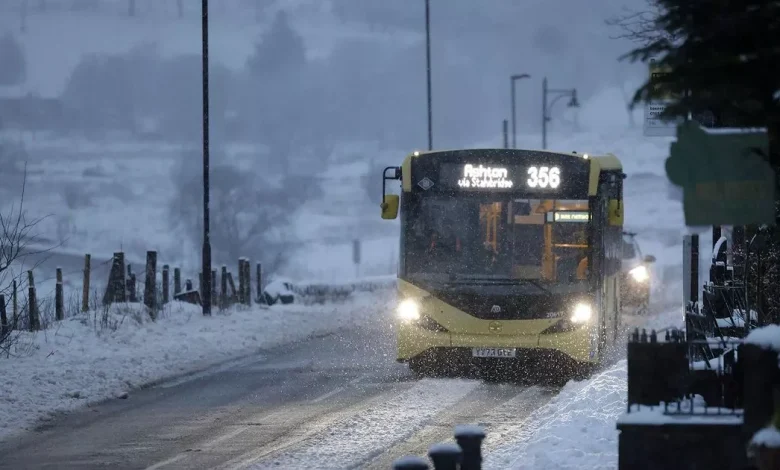
Forecasters predict light snow across the region next Thursday, November 20(Image: Sean Hansford | Manchester Evening News)
Regardless of whether snow hits the UK, the Met Office has said it will become ‘noticeably colder everywhere’ next week.
Northern and eastern areas are expected to feel the worst of the chill thanks to a ‘brisk northerly wind’, the weather agency said.
The Met Office long-range forecast, which runs from Sunday (November 16) to November 25, states: “Central and northern parts of the UK will likely be in a colder but drier regime than of late with overnight frost, and some showers near windward coasts in particular which may be wintry on high ground in the north.
“However, across the south it is likely to be cloudier and wetter initially, with some uncertainty as to how quickly this clears away to the south. It is most likely that the bulk of the UK will experience drier and colder conditions into the first part of next week.
“Later in the period there is increasing uncertainty, but a trend towards more changeable conditions is possible, with some rain or showers in places, and perhaps some hill snow at times in the north. Temperatures overall may return to near average.”