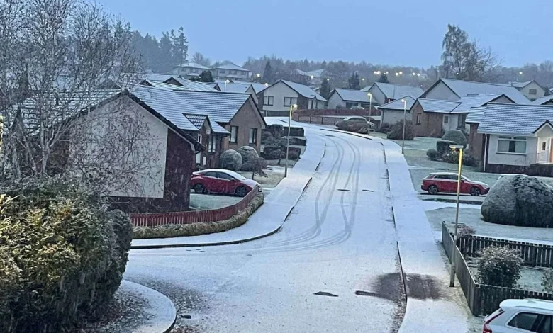
Cllr Duncan Macpherson shared several images from the Cradlehall and Westhill areas of Inverness. Picture: Cllr Duncan Macpherson.
Winter has arrived slightly earlier than expected after residents awoke to the first snow of the season on Friday.
Many Highlanders woke up to a widespread frost following clear skies overnight.
But for some, including those living in Inverness, there was snow as well, with a coating lying on the ground even to low levels first thing on Thursday.
The colder weather – while not unusual for the time of year – will nevertheless have caught some off guard following a much milder November than usual, with some parts of the UK experiencing their warmest November month on record up to this point.
This morning’s unexpected snow, is also expected to herald a more persistently cold spell next week – with the Met Office forecasting that northerly winds will bring snow showers to many parts of the northern Highlands.
The forecaster’s weekly ‘Ten Day Trend’ forecast, released on its YouTube channel every Wednesday, said there was high confidence of a cold snap as we head into next week – with the likelihood of at least 1cm of snow falling in parts of the Highlands rising to as high as 90 per cent in midweek.
That 1cm threshold is the likelihood of at least one centimetre falling, rather than the amount that will fall – in some places it could be much deeper, and others may experience none at all owing to the unpredictable nature of showers.
Even the chances of snow in the far very south of England are expected to rise to 20 per cent or more – which is more unusual for that area so early in the season, but gives some indication of how far and widespread the cold is expected to push south.