Big change on the way – some parts could see snowfall
16:16, 15 Nov 2025
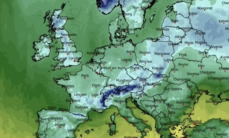
Early thursday morning and freezing temps forecast for Much of Ireland(Image: WXCHARTS)
It’s not exactly time to break out the skiis and snow-shoes – but after all of the rain over the past week – three Yellow Alerts for Cork alone and Orange with Storm Claudia – we’re about to go into the deep freeze.
The latest weather models show temps falling to freezing or just below overnight for much of the country starting from tomorrow night (Sunday) on, with daytime highs also in the 6-10C range for much of Munster from Monday onwards. It will feel far colder but also drier, as a more stable high pressure system ends the almost constant downpours of the week just gone.
And overnight, there could be frost and ice from Tuesday morning, making for a new set of hazards on our roads as low temperatures and perhaps freezing fog make for treacherous road conditions in more isolated or exposed areas. There is some threat of snow by Thursday, but this would be in the north and the midlands and no sign yet of a big freeze as temperatures drop to slightly below normal for this time of year.
The UK is bracing for snow conditions by Wednesday, with fresh data from forecast site WXCharts suggesting that by 6am on Wednesday, November 19, a 500-mile snow front will stretch from John O’Groats at Scotland’s northern tip right down to the capital. Central Europe is also set to see temps plunge well below freezing by the middle of next week as Winter gets a grip on the continent.
The full forecast this evening for Munster looks like:
TONIGHT
Staying rather cloudy overnight with a few spots of light rain or drizzle along with some patchy mist and fog. Lowest temperatures of 6 to 9 degrees in light to moderate northeasterly breezes.
TOMORROW – Sunday 16th November
A cloudy start tomorrow with the odd spot of light rain or drizzle. Sunny spells will develop from the north though the late morning and afternoon. Highest temperatures of 8 to 12 degrees with light, occasionally moderate north or northeast breezes.
National Outlook
Overview: Some rain and showers at times but overall a good deal of dry weather. Turning colder with some frosts at night.
Sunday night: Dry for most with long clear spells and just a chance of the odd stray shower. Lowest temperatures of 0 to 5 degrees in mostly light northerly breezes.
Monday: Dry with sunny spells for much of the day. Cloud will build in the northwest later with a little light rain possible during the evening. Highest temperatures of 6 to 10 degrees in light variable breezes.
Monday night: Gradually turning cloudier from the northwest with outbreaks of rain following. Driest and coldest in the south and east. Lowest temperatures of -1 to +4 degrees in light to moderate west or southwest breezes.
Tuesday: Rather cloudy at first with outbreaks of rain extending southeastwards. Spells of sunshine and scattered showers will follow from the northwest during the afternoon accompanied by a moderate to fresh west to northwest wind. Highest temperatures of 6 to 10 degrees.
Wednesday: A cold but sunny day. Dry for most, however, showers will feed mainly into the north and northwest through the day, some of which will turn wintry. Highest temperatures of just 5 to 8 degrees in a fresh and gusty northerly wind, stronger near exposed coasts. Winds will ease through the evening and overnight.
Further Outlook: Current indications suggest Thursday will be another cold day with a few showers, mainly in the north. More unsettled conditions are then expected to develop for the rest of the week with an increase in temperatures.