Residents and drivers can expect snow squalls to meander over the region through the day Sunday, continuing into the overnight hours and lingering into Monday.
The band of snow off Lake Huron could produce 20-30 cm of snow for some communities in Huron, Middlesex, Elgin, Perth, and Oxford Counties. Locally higher totals are possible, especially if the band remains stationary for an extended period of time.
Communities downwind of Georgian Bay could see 5-15 cm of snow through Monday, with light accumulations pressing toward the northern Greater Toronto Area (including Newmarket and King City).
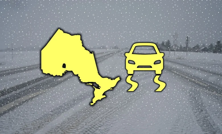
Winds will pose another hazard for drivers on top of the snow threat. Gusts could reach 60-80 km/h during the day, especially atop the escarpment and along the Lake Huron shores. This will make driving difficult, and the stiff gusts could further reduce visibility during periods of snowfall.
Header image created using graphics and imagery from Canva.
Stay with The Weather Network for all the latest on conditions across southern Ontario.