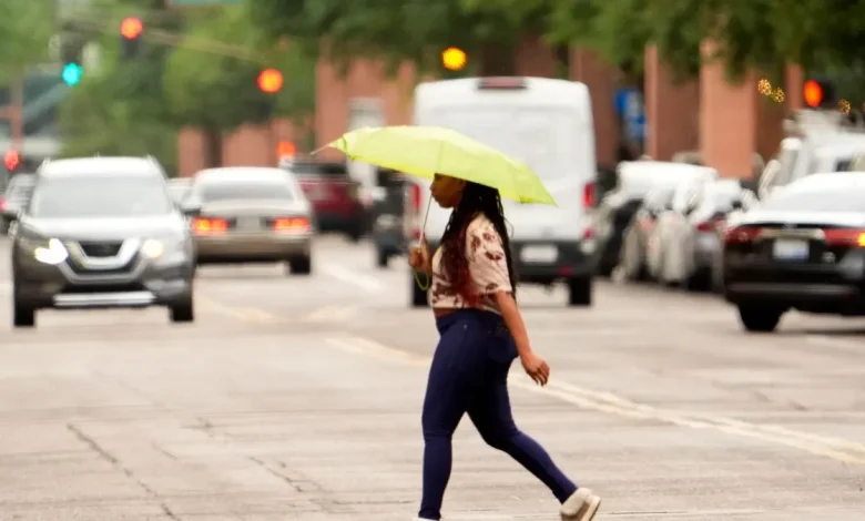
Phoenix residents may experience substantial rainfall this weekend and continuing into next week.
“We will be seeing some pretty big changes this weekend,” said Matt Salerno, lead meteorologist with the National Weather Service in Phoenix. “Definitely more fall-like weather.”
The best chance for rain was expected to be Saturday night, Nov. 15, into Sunday morning, Nov. 16, with the likelihood of rain to reach 50% after 2 a.m. into Nov. 16, according to the National Weather Service.
Showers were forecast to move through southwest Arizona before gradually shifting east and reaching central and eastern Arizona in the early morning of Nov. 16, the National Weather Service said.
“The main activity that we’re going to see with the first weather system is going to be Sunday morning in the Phoenix metro area,” Ted Whittock, meteorologist with the Phoenix office of the National Weather Service, said.
Residents could see rain levels between .1 of an inch and .25 of an inch throughout Sunday morning, Whittock added.
Rain could persist into next week across central and eastern Arizona as two additional weather systems move into the state, Salerno said.
The second system was expected to arrive the evening of Nov. 18, bringing a 40% chance of showers, while the third system is anticipated to reach the area on Nov. 19 or Nov. 20.
Additionally, these weather systems could provide a much-needed drop in temperatures this weekend. Residents can expect to see high temperatures in the low 70s throughout the weekend and into next week.
The National Weather Service encouraged residents to be aware of wet roads, road ponding and slower commute times.
The forecast prompted the Arizona Department of Transportation to add an addendum to its regular announcement of weekend road closures: “Schedules are subject to change due to rain.”