LAS VEGAS (KSNV) — Get ready for a soggy, Seattle-like day in Southern Nevada!
TODAY: We’ll see cloudy skies with rain showers and a slight chance of thunderstorms. High temperatures will be around 10 degrees cooler Tuesday compared to yesterday, reaching 56 degrees in Las Vegas. The normal high at this time of the year is 66 degrees. Winds will be out of the east up to 10 mph.
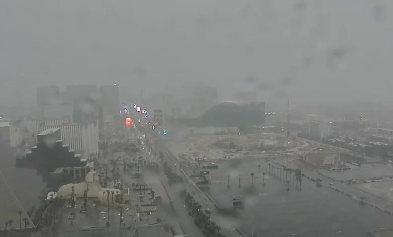
Widespread rain and mountain snow is in the forecast… Several bands of rain will move into the area late this morning, this afternoon and tonight from our next weather maker with moderate to heavy rain at times.
KSNV
A FLOOD WATCH is in place for Southern Nevada through 4:00 am Wednesday for street ponding/street flooding in low lying areas. With the storm slowing, we could see .50″ to 1.00″ of rain possible with locally higher amounts up to 2.00″.
A WINTER STORM WARNING is also in place for our local mountains for heavy snow above 7,000 ft. Around 5″ to 10″ will be possible above 7,000 ft, 10″-16″ above 8,000 ft and 16″ to 24″ above 9,000 ft.
Air quality is ranked ‘good’ and pollen levels are ‘low.’
TONIGHT: Cloudy skies will continue this evening with another chance of showers and thunderstorms. Valley low temperatures will drop to the mid and upper 40s.
WHAT’S NEXT: The snow level will go from 7,000 ft to 6,000 ft tonight and on Wednesday.
As one storm moves out, another arrives shortly after! Less rain is in the forecast for the rest of the week with mainly scattered shower chances on Wednesday, late Thursday and on Friday. The storm later in the week will track farther south so keep it here for more updates on the movement of this system.
Valley highs will stay in the 50s through the end of the week with temperatures rising this weekend to highs in the low to mid 60s Saturday & Sunday. Seasonal highs are also set to continue beyond the 7-day forecast.