How rare stratospheric warming event could affect Michigan’s snow, temperatures in December
DETROIT – There’s something happening in the stratosphere right now that could potentially lead to more snow and colder temperatures in Michigan this winter.
High above the North Pole, about 20 miles up in a layer of air called the stratosphere, something unusual is happening this winter. Temperatures there are rising very quickly. This is called a Sudden Stratospheric Warming, or SSW. During an SSW, the air in the stratosphere over the Arctic can warm by more than 50 degrees in just a few days.
Most of the time in winter, a tight “whirlwind” of very cold air spins over the North Pole. This is the polar vortex. Strong winds circle around it and usually keep the Arctic air locked up to the north.
When an SSW happens, it can mess up the polar vortex. The strong winds weaken, and sometimes the vortex breaks apart or slides away from the pole. This can open the “door” for bitter Arctic air to spill south into places like the United States, including the Great Lakes and Detroit area.
Forecasters are watching the atmosphere this November and December 2025 because computer models show an unusually early SSW that could strongly disturb the polar vortex. Some long-range forecasts say this could lead to colder-than-normal weather and more chances for snow across parts of the U.S. as winter begins.
What could this mean for Detroit and the Great Lakes?
If the SSW and polar vortex disruption play out the way some forecasts suggest, here are some possible effects for Detroit and the Great Lakes region:
-
Colder temperatures: Arctic air could drop south, bringing stretches of days that are 10–15 degrees colder than normal for early December in some areas of the eastern U.S.
-
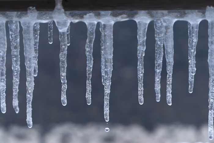
More snow chances: When very cold air passes over the still-unfrozen Great Lakes, it can pick up moisture and dump heavy “lake-effect” snow on nearby communities. That includes parts of Michigan, Ohio, Ontario, and other states around the lakes.
-
Icy roads and school delays: Colder air and more frequent snow showers would mean more slippery roads, slower travel, and a higher chance of school delays or closures, especially during strong lake-effect bands.
-
Windy days: Changes in the jet stream, the fast river of air high in the sky, can bring windy storms across the Great Lakes. These storms may cause blowing and drifting snow, and big waves on the lakes.
Powerful, but not a promise
Even though an SSW can strongly affect winter weather, it does not guarantee a specific storm in Detroit or exact snow totals. The cold air may focus more on some regions and less on others. Forecasters warn that there is still a lot of uncertainty about where the chilliest air and heaviest snow will set up.
For now, the main message is: this December 2025, the atmosphere above the North Pole is acting unusual. That gives the Detroit and Great Lakes area a higher chance of colder, stormier winter patterns than normal early in the season — but we’ll need day-to-day forecasts to know exactly what will happen in your neighborhood.
Copyright 2025 by WDIV ClickOnDetroit – All rights reserved.