First Alert Forecast: Blustery conditions persist today, lighter winds expected over the weekend
HONOLULU (HawaiiNewsNow) – Breezy and showery trades will persist through Thursday.
Guidance continues to show a band of low-level clouds and showers moving across the state today, keeping a rather cloudy and wet trade wind pattern in place.
Mid-level drying will limit clouds and showers Friday into early next week.
Easing trade winds over the weekend could allow for more of a hybrid land/sea breeze pattern over the weekend. Drier moderate trades should return on Sunday.
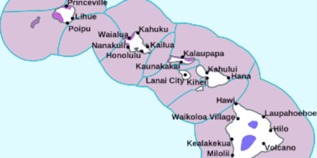
A High Surf Advisory for most north and west shores has been posted for Niihau, Kauai, Oahu, and Molokai through noon Thursday. Another northwest swell will build north and west shores to advisory levels on Saturday.
Download HNN’s weather app for everything you need to plan your day.(Hawaii News Now)
Copyright 2025 Hawaii News Now. All rights reserved.