FORT WAYNE, Ind. (WPTA) – Dry weather to start the week, but Monday afternoon will feature a lot of cloud cover. Morning temperatures on Monday will be in the upper 20s, climbing into the mid 50s for the highs. Our next chance for rain will arrive overnight Monday into Tuesday morning. The afternoon on Tuesday will feature some dry time, with a few more showers late night. Afternoon temperatures on Tuesday will be in the mid 50s.
THANKSGIVING WEATHER FORECAST
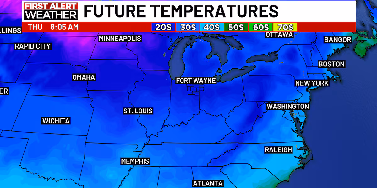
As we get to the Thanksgiving Holiday, cold weather will start to filter in. Highs on Wednesday will be in the mid low 40s, and on Thanksgiving day and Black Friday, afternoon temperatures will only be in the mid 30s, with feels like temperatures down in the 20s. Fortunately, right now it looks like those days will be dry, outside of a few lake effect snow flurries.
TRAVEL TROUBLES AROUND THANKSGIVING
We want to give you the First Alert that Wednesday through at least Friday, lake effect snow will set up directly east of the Great Lakes. In Northeast Indiana and Northwest Ohio, it’s just expected to be cold with a few snow flurries. If you are traveling for Thanksgiving to Northern or Western Michigan, Northeast Ohio, Northwest Pennsylvania, Western or Northern New York, lake effect snow could slow your travels or create delays. So, be prepared.
Possible travel delays on 11/27/2025(wpta)
Next weekend, we’re tracking the possibility of some messy weather. A weather system will pass through the Midwest. At this time it looks like it could bring us some snow on Saturday and rain on Sunday, but a lot can and will change with this weather system, so we can’t get more specific until we get closer to next weekend.
Copyright 2025 WPTA. All rights reserved.