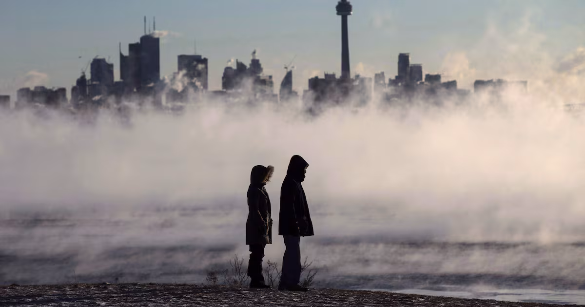
Another burst of winter to breeze through Toronto this week. Here’s what’s in the forecast
CP24’s Bill Coulter says Monday will see milder temperatures, but rain and snow are expected later this week.
Enjoy the sunshine brightening Toronto’s skies today as rain, flurries and below-freezing temperatures are in the forecast later this week.
While Monday is calling for mainly sunny skies and a high of 9 C, Environment Canada says there is a 60 per cent chance of showers Tuesday before rainier conditions drip over Toronto in the evening.
The drizzle is expected to continue through Wednesday with the precipitation potentially turning to snow that evening, as Environment Canada anticipates the temperature to cool to -1 C.
“Once that complex of systems slides east late Wednesday, the cold polar air that has been waiting in the winds rushes in,” CP24’s Meteorologist Bill Coulter said.
“That will knock down temperatures and fire up the lake effect snow machine for the traditional snow belts.”
The federal weather agency forecasts a 40 to 60 per cent chance of flurries for Toronto on Thursday, as temperatures push below freezing that evening to -2 C.
Toronto is still expected to be chilly come Friday, though Coulter said it will be a brighter and drier day. In Environment Canada’s forecast, the temperature is expected to dip to -5 C.
Clouds are expected to drape over Toronto Saturday, with a daytime high of 0 C, before a 30 per cent chance of flurries on Sunday.
“Sunday gives us rain or snow and a seasonably cool high of 3 C,” Coulter said.