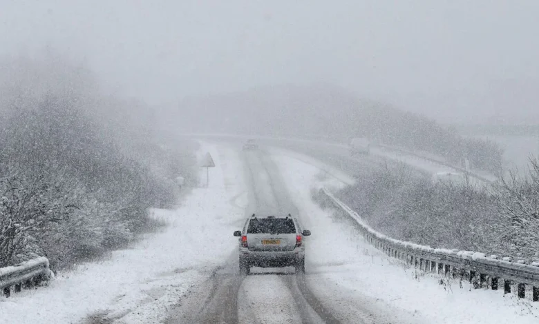
UK snow maps show blizzards hitting as far south as Devon with brutal -2C freeze

Britain is bracing for the current wintry weather to extend into next week as snow falls as far south as Devon and temperatures plummet to -2C. New maps from WXCHARTS, which uses MetDesk data, have revealed the bitterly cold conditions are forecast for December 6 – just over a week away.
By 6pm next Sunday, snow is due to have fallen in Devon, Warwickshire, Norfolk, Lancashire, the Scottish Highlands, and North Wales. Temperatures are also expected to drop next Sunday, with Scotland bearing the brunt of this. Parts of the Highlands and Scottish Borders could drop to -2C – much colder than the December average of 6C.
England is due to be slightly milder, with most parts of the country sitting between 3C and 4C. However, parts of the North, particularly Cumbira, could get to -1C.
Separately, the Met Office forecast for December 2 to 11 reads: “Changeable and often unsettled conditions are expected across the UK during this period.
“Low pressure systems will tend to dominate meaning showers or longer spells of rain for much of the UK, though some brief drier, more settled interludes are also possible.
“The wettest weather is perhaps more likely in parts of the west, but heavy rain is possible almost anywhere at times through this period. The greatest chance of snow will probably be over northern high ground.
“Given the dominance of low pressure, strong winds are also likely at times. Overall, temperatures are predicted to be close to average, though colder conditions may occasionally encroach into northern areas.
“Some frost is to be expected where drier, clearer conditions develop overnight.”


