Parts of Greater Manchester could see wintry showers on Saturday
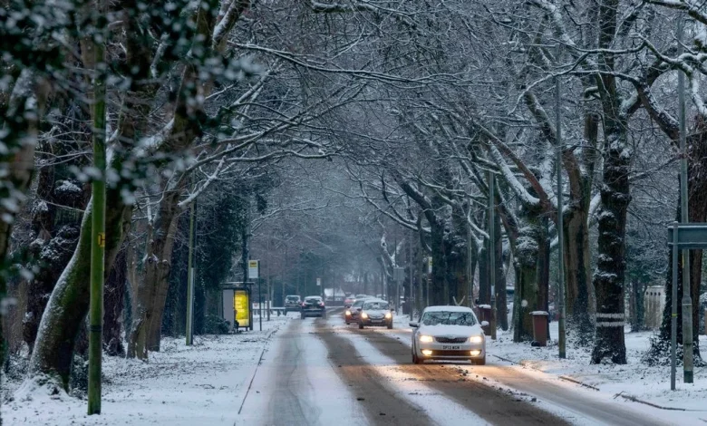
Snow and sleet could fall in parts of Greater Manchester(Image: Jason Roberts /Manchester Evening News)
The Met Office has forecast snow in parts of the UK this weekend as wintry conditions are set to make a return. Last week, as much as 25cm of snow fell across parts of the UK, with a number of snow and ice warnings issued by the Met Office.
Snow and sleet are forecast again across parts of Scotland and northern England this weekend, including in Greater Manchester. This weekend’s wintry weather isn’t expected to be as widespread as last week’s cold snap, but the Met Office says sleet and snow are “likely” in some areas.
Met Office weather maps have revealed where snow could hit Greater Manchester on Saturday (November 29). Scotland and northern England are set to see a mix of rain, hail, and snow throughout the day, some of which is expected to be heavy (>4mm/hour) at times.
Rain could turn to snow in Greater Manchester on Saturday afternoon (November 29)(Image: The Met Office)
By around 5.30pm, light-moderate snowfall is expected in parts of Greater Manchester, including Rochdale, Oldham and Tameside. Other boroughs are forecast light-moderate rain and hail.
Snow is forecast in parts of Greater Manchester on Saturday, November 29(Image: The Met Office)
The heaviest snowfall in Greater Manchester is forecast at around 7pm, with weather maps showing moderate (0.5-4mm/hour) snow in Rochdale, Oldham and Tameside. It is expected to continue until around 9pm.
The heaviest snow in and around Greater Manchester is expected at around 7pm(Image: The Met Office)
The Met Office stressed that while “disruptive” conditions are forecast for Saturday, there remains some uncertainty in the forecast over the exact path of the low pressure weather system.
It said current forecasts indicate a spell of heavy rain and strong winds, particularly affecting southern and eastern parts of England, while the South Pennines could see snow and sleet.
The Met Office said: “Saturday morning will start with a few showery bursts across Scotland, driven by the lingering cold Arctic air. However, the focus of the wetter weather will be further south, where the advancing low pressure will bring heavy rain and strong winds to parts of England and Wales.
“Coastal areas in the south could see particularly strong gusts, while the eastern side of England may experience winds of 50 to 60 mph, or even higher in exposed spots. Rainfall totals could reach 30 to 50 millimetres in some locations, enough to cause localised disruption.
“With cold air in place, there is also the potential for sleet and snow over higher ground, especially around the South Pennines. The exact extent of wintry weather will depend on the track and intensity of the low; a more southerly route would keep the wintry risk confined to the north, while a more northerly path could bring sleet or snow to modest elevations in northern England and even southern Scotland.”