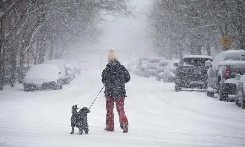
CHICAGO – Bundle up and enjoy the calm before the storm today. Skies will be mostly sunny, but it will be cold as high temperatures barely reach above freezing.
Chicago snowstorm
What to expect:
The National Weather Service has issued a Winter Storm Warning which replaces the Watch and it will be in effect from 3 a.m. tomorrow through 6 a.m. Sunday. This is to cover for a significant snowstorm which now looks to be in the 6-to-12-inch range all across Chicagoland, unlike the more-targeted lake-effect storm a few weeks ago.
The higher amounts will likely be northwest of the city, but I don’t expect there to be a tremendous variation across our area. Snow will fall at varying intensities, with a nod toward the heavier snow tomorrow afternoon when an inch-per-hour rates are likely. It will be fairly breezy, which will lead to minor blowing and drifting snow.
Regardless, travel will be quite difficult at any point in time tomorrow through Sunday morning as the snow winds down. In the storm’s wake, it will turn bitterly cold with highs next week mostly in the 20s and overnight lows in many suburbs near or below zero. There will be a couple of additional chances for light snow — the first of which would arrive late Monday.
Big picture view:
The biggest single-day snowstorm on record for Chicago in November took place Nov. 6, 1951 when 8 inches fell. That benchmark is within reach tomorrow.
The Source: The information in this report came from FOX 32 Meteoroligst Mike Caplan.
Weather ForecastNewsChicago