Exact date snow set to hit Liverpool

Snow is set to make an appearance this winter
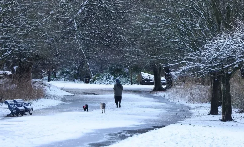
Snow in Sefton Park, Liverpool(Image: Liverpool Echo)
Snow could make a brief appearance in the region on New Year’s Day, according to early predictions from forecasting agency AccuWeather. The long-range outlook for January 1 suggests conditions will be “cloudy with rain and snow at times” before precipitation eventually turns back to rain. Any snowfall is expected to be light, with AccuWeather forecasting around 0.2mm.
The prospect of New Year snow follows a turbulent spell of weather across the UK in recent weeks. Last month, some areas saw as much as 25cm of snow, prompting an amber weather warning in parts of the country.
Rain warnings have continued into this week, with widespread alerts issued by the Met Office.
On December 1, an amber warning for rain covered much of south Wales, while yellow warnings affected south west and north west England, central and northern Wales, and southwest Scotland.
Looking ahead to the next few days, the Met Office expects unsettled conditions to continue. A spokesperson said: “Scattered showers continuing this evening, with blustery downpours at times, particularly in the north.
Families enjoying the snow at Camp Hill, Woolton(Image: Andrew Teebay Liverpool Echo)
“Showers fade in the south overnight, allowing some clearer skies to develop, and perhaps the odd pockets of grass frost and fog to form. Breezy along coasts.
“A damp start to Thursday, as a rain band clears through the morning. Remaining largely changeable thereafter, with a mix of rain, showers and sunny spells to end the week.”
In its long-term forecast for December 16–30, the Met Office says high-pressure systems may bring more settled, drier weather later in the month, increasing the likelihood of overnight fog and frost.
However, spells of rain, stronger winds, and some hill snow, mainly in the north, are still possible. Temperatures are expected to sit near or slightly above average, though occasional colder periods may develop.
While many people are already wondering about the chances of a white Christmas, meteorologists note that reliable forecasts are only typically possible from around a week beforehand.
Historically, most parts of the UK are more likely to see snow in January or February than in December.
The Met Office explains that Britain averages three days of lying snow in December, compared with 3.3 days in January and 3.4 in February, based on data from 1991 to 2020. Warmer temperatures linked to climate change have also reduced the likelihood of festive snowfall in recent decades.
For an official “white Christmas” to be declared, the Met Office requires a single snowflake to be observed falling at any time on December 25 by an official observer or automated station. Forecasters can reliably predict such conditions up to five days in advance.
For now, all eyes are on the New Year forecast—where a brief wintry dusting remains a possibility.


