Another calm and mild start to the day with areas of fog early Saturday morning, especially inland and along the Treasure Coast.
A Dense Fog Advisory is in effect for the Treasure Coast, Okeechobee and inland Palm Beach County.
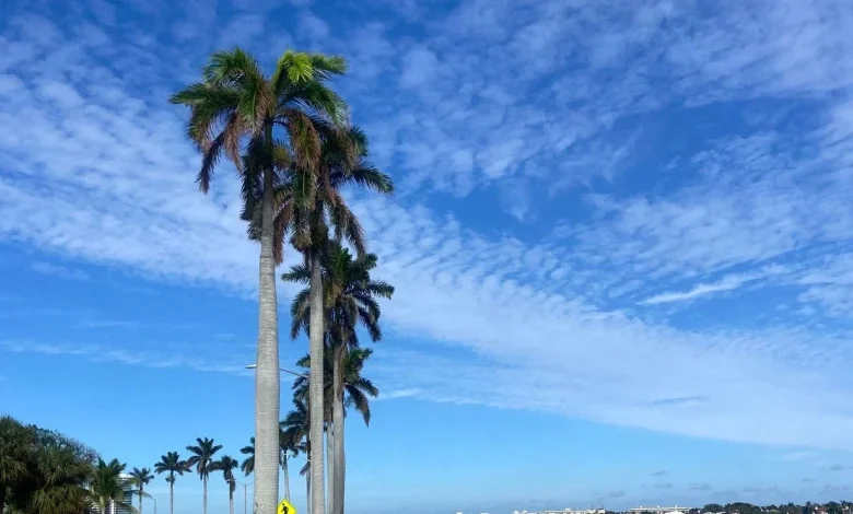
Conditions will clear after sunrise with a mix of sun and clouds into the afternoon.
Dry and comfortable weather will dominate through the end of the weekend, with above-average temperatures climbing into the mid to upper 80s. A cold front lingering over north-central Florida will keep southerly winds in place, supporting the warm trend. Rain chances remain minimal through the weekend, though a few isolated sprinkles are possible.
By Sunday night, showers will return as the front pushes south, with the highest rain chance into Monday afternoon and a slight risk for isolated thunderstorms.
Behind the front, expect a noticeable change. Cooler and drier air will settle over South Florida, bringing highs back down to the mid and upper 70s and reducing humidity levels. These pleasant temperatures should persist through late next week.
Comment with Bubbles
BE THE FIRST TO COMMENT
Another front could move in later this week, through there is some uncertainty still in its timing and strength.