WEST PALM BEACH, Fla. — The warming pattern continues as we head into the weekend.
However, a cold front will start to move in on Sunday, bringing the threat of showers later in the day.
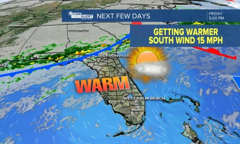
WPTV First Alert Weather Forecast for Evening of Friday, Dec. 5, 2025
MORE WEATHER: Radar | Alerts | 7-Day Forecast | Hourly Forecast
For the rest of Friday, you can expect plenty of sunshine along with a light southerly breeze and highs in the low to mid-80s.
Saturday’s weather is similar, with hotter temperatures. Mostly sunny and very low rain chance. Expect near record highs in the mid-upper 80s.
It will be ideal weather for the beach and boating, as there are no advisories, but beware of rip currents that are at a moderate level.
Heading into Sunday, it will stay warm and get more humid. Winds turn southwesterly, helping to push temperatures into the mid-80s. There may be a few showers or isolated storms late in the day and evening on Sunday as a cold front creeps in from our north.
The front will continue to move through South Florida on Monday, bringing scattered showers and a few thunderstorms. Not an all-day washout, but you’ll want to keep the umbrella handy. Highs in the upper 70s or near 80.
WPTV
Most areas see less than an inch of rain, though a few brief downpours are possible.
A nice cool-down is expected behind the front. Highs fall into the upper 70s, and mornings get noticeably cooler: low 50s west of Lake Okeechobee, 60s elsewhere.
A stalled front to our south may toss a stray shower into South Florida, but overall it looks quiet and comfortable mid to late week as temps remain normal for this time of the year in the upper 70s for highs and lows in the upper 50s and low 60s.