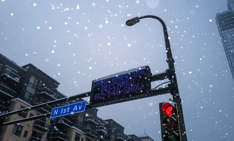
Three states are facing possible “blizzard conditions” as a winter storm watch goes into place on Tuesday, the National Weather Service (NWS) warns.
A powerful winter storm system is forecast to hit large swaths of the United States this week, with meteorologists warning of blizzard-like conditions, potentially hazardous travel, and falling temperatures.
NWS Meteorologist Richard Bann told Newsweek on Monday, “The concern in particular is that once the storm goes by, there are very strong winds behind the storm. That will be a factor in widespread blowing snow which could hamper visibility and travel. It really is a two-pronged event; a couple inches of snow, then the wind concern.”
The breadth and intensity of this system raise possible concerns for millions of Americans, especially as it coincides with the busy travel period amid the holiday season, and as an upcoming Arctic air mass deepens across the Midwest, Northeast, and Southeast. These conditions could disrupt travel, strain local resources, and increase risks to unprepared residents.
According to the NWS, portions of Minnesota, South Dakota and Iowa are facing a winter storm watch beginning on Tuesday evening and extending through Wednesday morning.
Other states, including New York and Wisconsin, are also facing the watch but not possible blizzard conditions, according to the NWS.
In Minnesota, Renville, Sibley, Blue Earth, Brown, Faribault, Freeborn, Le Sueur, Martin, Nicollet, Waseca, Watonwan, Redwood, Chippewa, Lac Qui Parle, and Yellow Medicine Counties are impacted by the watch and the southwest region of the state, the NWS says. In Iowa, the watch impacts the central, north central, northeast, northwest, and west central portions of the state.
In South Dakota, the southeast, central, east central, and south-central portions of the state are facing the winter storm watch, the NWS says.
Below is a map of the impacted states facing potential blizzard conditions:
The NWS in Minnesota warns that “Ground blizzard conditions possible. Total snow accumulations up to two inches possible. Blowing and drifting snow could lead to significantly reduced visibility Tuesday night. Winds could gust as high as 50 mph.”
“We’re really looking at a swath of 3 to 6 inches with the event,” Bann added. “We could be looking at isolated areas seeing up to 8 inches.”
Bann added that the system will move out of the area, including the wind on the backend, by the latter part of Wednesday.