What are some common myths about keeping warm when the temps drop?
Test your knowledge about how to keep warm when the temps drop.
Linda Roy, Wochit
- A winter storm is bringing a mix of rain, snow, and gusty winds to parts of New York.
- The heaviest snow is expected in higher elevations like the Tug Hill Plateau and the western Adirondacks.
- Lake-effect snow bands are forecast to develop, potentially bringing 8 to 11 inches in some areas.
- While difficult travel is expected, conditions are not anticipated to meet blizzard criteria for most of the region.
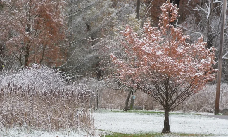
A winter storm warning remains in effect across parts of New York as a complex system moves through the eastern Great Lakes, bringing a mix of rain, snow and gusty winds. The storm is producing the heaviest impacts in hill-top areas such as the Tug Hill Plateau and the western Adirondacks, where a half-foot or more of snow is expected.
Forecasters with the National Weather Service in Buffalo said an area of low pressure crossing Lake Erie is spreading widespread snow into the region early Wednesday, Dec. 10, before quickly turning to rain at most lower elevations. Hill tops will continue to see accumulating snow, while the rest of western New York is expected to taper to light or no accumulation once rain arrives.
A cold front sweeping through the area Wednesday evening will flip precipitation back to all snow, accompanied by west-northwest winds of 20 to 35 mph, according to the weather service. The combination of falling snow and wind will create some blowing and drifting, particularly in the higher terrain, but conditions are not expected to meet blizzard criteria for most of the region.
Lake-effect bands will develop behind the front and persist into Thursday and Thursday night, Dec. 11, especially southeast of the lakes. The strongest bands are forecast off Lake Erie and Lake Ontario, where totals of 8 to 11 inches are possible in a narrow corridor. Upslope snow will also add several inches across the Chautauqua Ridge and the Tug Hill Plateau.
Winds will remain breezy, and visibility may drop in the heavier bands, but forecasters said the storm depth and wind profile are not strong enough to support a widespread blizzard.
Additional lake-effect and upslope snow will continue into Friday, Dec. 12, with some light accumulations expected farther inland as bands shift.
What is a blizzard warning vs winter storm warning?
- A winter storm watch means conditions are favorable for a significant winter event — like heavy snow, sleet, ice or blowing snow — that could meet or exceed winter storm warning criteria within the next 12 to 48 hours.
- A winter storm warning means a winter weather event is expected to bring more than one hazard — for example, heavy snow with blowing snow, snow and ice, or sleet and ice — that can create dangerous travel conditions or minor power outages.
- A blizzard warning is issued when sustained winds or frequent gusts reach 35 mph or higher, combined with falling or blowing snow that reduces visibility to less than a quarter mile for at least three hours.
A blizzard is not expected for most of western and north-central New York, but localized areas — particularly hill tops and lake-effect corridors — will see periods of heavy snow, blowing snow and difficult travel. Residents in those zones should be prepared for continued impacts through Thursday and into Friday.
When does the winter storm warning expire in New York?
A winter storm warning remains in effect until 1 p.m. Thursday as the storm continues to bring periods of snow, blowing snow and reduced visibility across the region.
Snowfall totals: How much snow will New York get?
Forecasters expect total snow accumulations of 8 to 16 inches across the higher terrain of the Tug Hill Plateau and the western foothills of the Adirondacks, with 3 to 6 inches in the surrounding lower elevations, while most lower areas will see little more than a dusting once rain arrives.
Note: The snow and ice forecast tracker shows probabilities of receiving 4 or greater inches of snow.
How much snow has your New York home received?
USA TODAY’s snowfall map shows accumulation over the past 24, 48, and 72 hours, as well as seasonal totals dating back to Oct. 1. Updated multiple times a day, the map lets you toggle between timeframes to see how snow is adding up in your area.
Just type your address into the box below to see your snowfall total and a map of nearby measurements.
New York weather watches and warnings
Stay informed. Get weather alerts via text
Brandi D. Addison covers weather across the United States as the Weather Connect Reporter for the USA TODAY Network. She can be reached at baddison@gannett.com. Find her on Facebook here.