Tornado watch issued for West Alabama

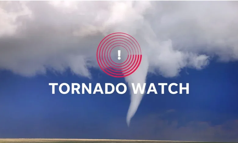
The National Weather Service has issued a tornado watch in Birmingham on Thursday, Dec. 18, from 5:07 p.m. until 9:00 p.m.. This warning applies to Fayette, Greene, Lamar, Marion, Pickens, Sumter, Tuscaloosa, Walker and Winston counties.
West Alabama weather radar
What are NWS meteorologists saying?
At 5:07 p.m., the NWS issued a statement including the following information:
“THE NATIONAL WEATHER SERVICE HAS ISSUED TORNADO WATCH 642 IN EFFECT UNTIL 9 p.m. CST THIS EVENING FOR THE FOLLOWING AREAS IN ALABAMA THIS WATCH INCLUDES 9 COUNTIES IN CENTRAL ALABAMA FAYETTE GREENE LAMAR MARION PICKENS SUMTER TUSCALOOSA WALKER WINSTON THIS INCLUDES THE CITIES OF ALICEVILLE, CARROLLTON, EUTAW, FAYETTE, HALEYVILLE, HAMILTON, JASPER, LIVINGSTON, SULLIGENT, TUSCALOOSA, VERNON, AND YORK.”
How do you stay safe during a tornado?
During a tornado, the National Weather Service recommends:
- Get as low as possible. A basement below ground level or the lowest floor of a building offers the greatest safety.
- Put as many walls between yourself and the outside as possible.
- Avoid windows.
Remember, tornadoes can move across hills and even bodies of water, so always seek shelter if one is nearby – your elevation or proximity to water are not natural sources of protection.
What should you do if you’re driving during a tornado warning?
If you’re driving, especially on interstates or highways, do not try to outrun a tornado – they can move quickly and change direction without warning.
If a tornado warning is in effect, look for ways to safely leave the road and get out of your vehicle. The safest option is to seek shelter in a sturdy building.
If no building is available, avoid taking cover under a highway overpass. While it might seem protective, overpasses can act as wind tunnels, increasing wind speed and the risk of injury.
Instead, lie flat in the nearest depression, ditch, or culvert and cover your head with your arms.
What is a tornado watch?
A tornado watch means that conditions are favorable for tornadoes to develop in and around the watch area. It doesn’t mean a tornado is occurring, but it signals that the necessary ingredients – such as strong wind shear, atmospheric instability and lift – are present.
When a tornado watch is issued, make sure you have multiple ways to receive weather updates and a safety plan ready in case a tornado warning is issued.
What is a tornado warning?
A tornado warning is a more serious alert, indicating that a tornado is either happening or is about to happen, and you should take shelter immediately.
There are two types of alerts:
- Radar-indicated warning: Strong rotation is detected; a tornado may form or is in the process of forming. When a warning is radar-indicated, it typically means the radar has detected a rotating thunderstorm (called a mesocyclone) capable of producing a tornado. However, not all radar-indicated warnings result in an actual tornado touchdown.
- Confirmed warning : A tornado has been spotted or detected by radar through a debris signature.
Regardless of whether the warning is radar-indicated or confirmed, it is critical to take shelter immediately, as tornadoes can form quickly and radar cannot always capture what’s happening at ground level.
Alabama weather watches and warnings
Stay informed. Get weather alerts via text.
This weather report was generated automatically using information from the National Weather Service and a story written and reviewed by an editor.
See the latest weather alerts and forecasts here


