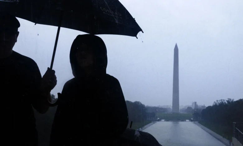
A soaking rain is moving into the D.C. region Thursday, bringing the potential for heavy downpours, gusty winds and a few isolated thunderstorms.
A soaking rain is moving into the D.C. region Thursday, bringing the potential for heavy downpours, gusty winds and a few isolated thunderstorms as a powerful weather system sweeps in from the south and west.
Forecasters say the severe threat remains low, but the combination of gusty winds and lightning could still bring down tree limbs and knock out power in some areas.
The main concern is the rain itself — with one to two inches expected before the system moves out later. That could lead to ponding on roads and rising water in creeks, streams and low-lying areas during the morning and afternoon commute.
Drivers are urged to take it slow on slick roads and avoid flooded crossings. While the storm brings some hazards, it also offers a silver lining: Relief for parts of the region dealing with ongoing drought conditions.
Once the rain clears out, conditions will shift. Skies are expected to brighten later tonight as the front moves east, but brisk winds from the southwest — between 10 and 20 miles per hour — will sweep through behind it.
7News First meteorologist Mark Peña says the storm will move out just in time for Halloween, setting up a much drier and cooler weekend ahead.
“This system will give us some much-needed rain before clearing out later today,” Peña said. “We’ll see gusty winds tonight, but it should be calm and dry for trick-or-treaters.”
Forecast
TODAY: STORM ALERT
Rain, wind; late day clearing
Highs: 60-65
Winds: Southeast 10-20, Gusts 25-30 mph
Plan for soaking rain Thursday morning as a strong cold front approaches the area. Pockets of moderate to heavy rain may cause travel delays during the morning and early afternoon hours. With the warmer, more humid air mass, there is the chance for a few rumbles of thunder. Rainfall totals will likely be over an inch for many neighborhoods, so watch out for ponding on area roadways. Rain will taper off during the afternoon with increasing sunshine.
TONIGHT:
Scattered clouds
Lows: 45-50
Winds: Southwest 5-10 mph
Dry weather is expected overnight with lows in the 40s for many.
FRIDAY — HALLOWEEN:
Partly cloudy, windy
Highs: Low 60s
Winds: West 15-25, Gusts 30-40 mph
Windy weather will round out the month. High temperatures will climb into the low 60s with westerly winds gusting well over 30 mph for many hours during the afternoon. Keep this in mind if you have inflatable Halloween decorations. The wind will ease toward sunset, but it will still be breezy and cool for Trick-Or-Treat time.
SATURDAY:
Scattered clouds, breezy
Highs: near 60
Winds: West 10-15, Gusts to 25 mph
Winds are set to ease later in the day with highs just around 60 inside the beltway, middle 50s for the I-81 corridor.
SUNDAY:
Mostly sunny
Highs: 55-60
Winds: West 5-10 mph
Nice weather continues for the end of the weekend with highs ranging from the middle 50s to around 60 degrees. Early Sunday morning, daylight saving time officially draws to a close. The time will “fall back” by one hour, resulting in an earlier sunrise and sunset, just after 5 p.m.
Current weather
Get breaking news and daily headlines delivered to your email inbox by signing up here.
© 2025 WTOP. All Rights Reserved. This website is not intended for users located within the European Economic Area.