Severe thunderstorms are set to hit south-east Queensland over the coming five days, with damaging winds and large hail forecast.
The Bureau of Meteorology has issued a severe thunderstorm warning for areas in the Southeast Coast, Wide Bay and Burnett and Capricornia region, including Gayndah, Gin Gin, Miriam Vale, Childers and Biggenden.
A surface trough will combine with strong winds to create a potentially dangerous system this afternoon and into the evening.
“Moderate instability” is developing over parts of south-east Queensland, with severe storms, damaging winds and large hail forecast to batter the region. (Bureau of Meteorology)
People are advised to park their cars away from trees, close doors and windows, and not to drive unless they have to in dangerous conditions.
An earlier thunderstorm warning for the Darling Downs and Granite Belt district has been cancelled.
Unstable weather including daily rain and severe thunderstorm activity is expected in south-east Queensland until Tuesday, according to Weatherzone.
“Thunderstorms will become more intense on Saturday as the atmosphere becomes increasingly unstable in response to an upper-level trough,” Weatherzone meteorologist Ben Domensino said.
“Supercell thunderstorms are possible on Saturday, and isolated tornadoes can’t be ruled out.”
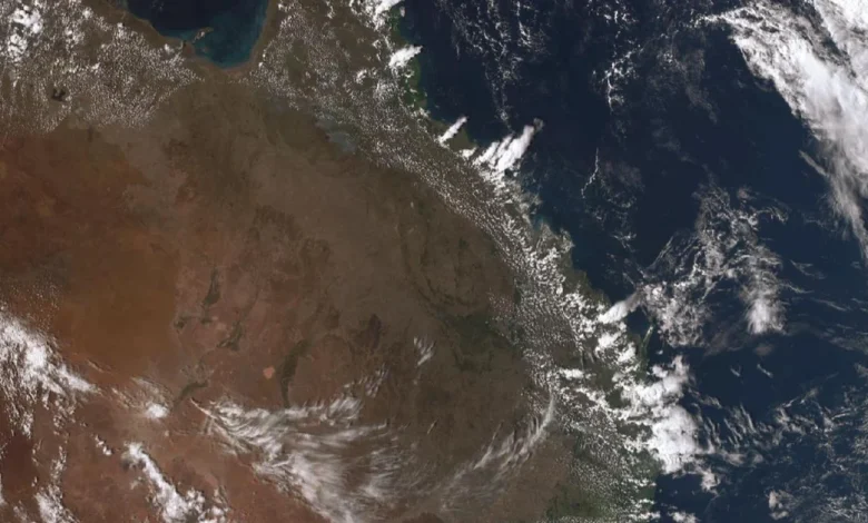
While parts of the south-east are in for a lashing today, northern parts of the state and the Cape York Peninsula are sweltering through a low to severe heatwave.
Temperatures are reaching between the low 30s to 40s.
The heatwave is expected to continue over the coming days and expand to other parts of northern Queensland this weekend, likely at Aurukun, Coen, Kowanyama and Weipa.