Intense Weather System Bringing Storm Surge, High Winds, Heavy Rain for Tuesday and Wednesday

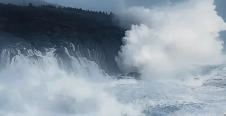
Waves crashing into cliffs at Lower Island Cove January 5, 2025. Photo credit: Eugene Howell
Batten down the hatches and bring in those last few Halloween decorations, a major storm is coming our way.
An intense low pressure system is forecast to bring strong winds, storm surge and heavy rain to many parts of the province starting tomorrow and continuing through Wednesday.
Environment Canada meteorologist David Neil says storm surge, especially along the south coast has prompted Environment Canada to issue a coastal flooding statement.
(VOCM file photo)
Storm surge and coastal flooding a possibility
He says they’re anticipating “really high water levels over many coastal areas of the island and even getting into Labrador. Especially near high tides starting later on Tuesday, but then really persisting over many areas of the coast across the island and into Labrador through much of the rest of this week. Because when this storm passes by, it does kind of linger off the coast. It moves away, but it moves away quite slowly.”
Wind warnings are in place
Wind warnings are also in place for the Burin and Avalon peninsulas with strong east southeasterly winds ahead of the storm on Tuesday, then turning around to strong west, northwesterly winds affecting the east and northeast coasts.
He says gusts in the east to southeast winds will reach between 80 and 110 km/h, but in the warning areas, it could be higher. “As we get into the westerly wind son the back side of the storm, we’re likely to see some gusts in 100 km/h, possibly stronger. We’re looking at the potential, especially in the southeast part of the island, of some wind gusts that could be over 100.”
Heavy rain also a factor
In the meantime, heavy rain is also in the forecast with as much as 50 mm expected in many areas.
The storm system moving up along the U.S. east coast (via the National Hurricane Center)


