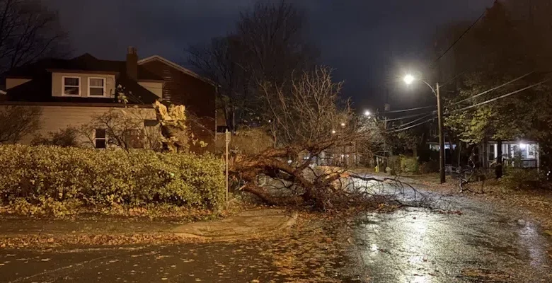
Damage on Freshwater Road/Blatch Avenue in St. John’s (VOCM News)
The worst of the so-called “bomb cyclone” is behind us, but the winds will still be quite intense throughout today.
There were downpours in many areas yesterday afternoon as winds began to pick up.
Environment Canada meteorologist Tiffany Cheeks says strong gusts were reported in several spots on the Avalon and south coast of the island. Unofficial reports out of Trepassey clocked gusts of 170 km/h at one point last night.
Sagona Island off the south coast recorded the highest official gusts of 150 km/h. On the island. Twillingate saw gusts of 120 km/h, Burgeo recorded winds of 113 km/h, and gusts at St. John’s International were well over 100 km/h last night and overnight.
Traffic splashes through standing water on Elizabeth Avenue (VOCM News)
Thousands of customers were left in the dark in areas across the island with some households still without power this morning.
A snowfall warning was in effect for parts of central and western Newfoundland yesterday as drivers, many without snow tires on this early in the season, found themselves caught up in a blast of winter.
Wind warnings remain in effect for many areas for most of the day today.
Northwesterlies will be gusting to 80 km/h with gusts over 100 km/h for parts of the north, northeast and south coasts for most of the day before dying down later this evening.
The gulf ferries remain tied up today. The cancellations board at St. John’s International is lit up red with several cancellations and delays.
Information on delays and closures can be found on the VOCM Storm Page.