Atmospheric river to bring wind and rain to region, small risk of severe weather Wednesday
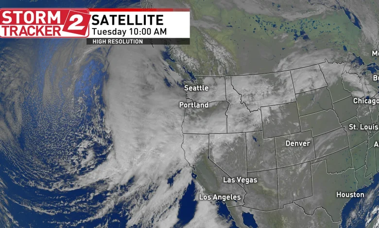
PORTLAND, Ore. (KATU) — KATU is declaring a Storm Tracker 2 Weather Alert for the possibility of severe weather on Wednesday. An atmospheric river will begin to bring rain into the Portland area Tuesday afternoon, with heavy rain and gusty winds arriving overnight as an associated cold front swing through the region.
WEATHER | Latest Storm Tracker 2 Forecast
Gusty winds could create some downed trees and power issues along the coast and in the southern and central Willamette Valley.
“This is one of those setups that can turn messy fast if the core of moisture in the atmospheric river stalls over our region for a while, we’ll be juggling super soaked commutes, toppled branches in spots, and tide-boosted coastal flooding,” Storm Tracker 2 Meteorologist Rhonda Shelby said.
Rain amounts along the coast and Cascades will exceed two inches by Friday, while in the Willamette Valley, rainfall will vary between an inch to two inches.
Statewide Rain Forecast – Storm Tracker 2 Weather graphic
King Tides will begin tomorrow and last through Friday. Some low-land flooding is expected along the coast during high tides. Officials are urging anyone going to the coast to be aware of an enhanced sneaker wave threat.
The incoming cold front tomorrow will bring lots of rain and wind, but also lots of unstable air. The Storm Prediction Center in Norman, Oklahoma says there is a 2% chance for low-topped thunderstorms that could be capable of producing a waterspout or brief tornado.
Slight Tornado threat Wednesday – Storm Tracker 2 Weather graphic
“This round will likely have the greatest threat for marginally large hail, isolated severe wind gusts, and perhaps a tornado threat, due to the greater instability and potential for low-topped supercells,” SPC said in their outlook posted Tuesday morning.
There is lots of social media chatter about tornadoes along the coast or in the Willamette Valley on Wednesday, and Shelby says to take it with a grain of salt. “While the potential exists, the likelihood of seeing a waterspout or tornado is extremely low, and it’s likely nothing will happen.”
Rainfall Forecast for Portland – Storm Tracker 2 Weather graphic
There are also very low probabilities of seeing hail an inch in diameter or wind gusts above 57 mph.
Another cold front will move through the area on Thursday, with less impacts for the region.
Download the Storm Tracker 2 Weather App and have watches and warnings available at your fingertips.