Seasonal highs, with building snow chances by Thursday

ANCHORAGE, AK (Alaska’s News Source) – Light snow accumulation yesterday amounted to just 0.2″ of snow in Anchorage, bringing our seasonal total to 0.5″. Typically, during the first week of November, our seasonal snowfall totals should already be sitting in the 5–10″ range, but October was a toasty one across the state. While we can’t rule out some light snow showers across the state this week, many areas will see much more seasonal weather as colder conditions settle into the state.
SOUTHCENTRAL:
Be careful on roads across Southcentral, as icy and slick conditions will remain with us this week. While today won’t be as icy as Monday, we’ll still see many areas holding onto pockets of black ice. Now is the time to start getting into a winter mindset when hitting the roads, as snow is in the forecast this week across Southcentral.
While we can’t rule out some flurry activity today, our better chance for snow looks to arrive as we welcome in Thursday. An approaching low from the northern Gulf of Alaska will lead to increased moisture, with plenty of cold air available. While the snow doesn’t look impressive, it will likely bring many areas their first decent shot for an inch of snow this season. Per usual, the heaviest snow will remain in the mountains and along the Hillside. We’ll keep with snow chances through at least early Friday, with the return to colder and drier weather into the weekend.
SOUTHEAST:
While today will bring some spotty to isolated showers in the forecast, many areas of the Southeast will stay on the drier side today. Any showers will remain fairly light with just a few hundredths of an inch to be expected. As we transition into the middle of the week, more rain will build into the panhandle. An area of low pressure lifting north out of the Pacific Ocean will skirt along the outer coast. This will lead to scattered showers in the forecast tomorrow, with more rain possible into Friday. With temperatures slowly cooling in the Southeast, we could see some localized areas of wintry mix later this week. Afternoon highs will continue to steadily cool, with many areas falling into the lower 40s.
INTERIOR:
There is a chill in the air this morning, as parts of the Interior are waking up to temperatures near zero degrees. While we did see some areas of light snow falling through the night, today will largely be on the dry side. We can’t rule out some flurry potential, but the better chance for snow arrives through the second half of the week. While snow chances don’t look to bring anything significant, we could see 1–3 inches of snow falling through the Interior by week’s end. Most of the higher elevations will see the higher snowfall totals, while areas of the Central Interior make a run near an inch of snow by week’s end.
SLOPE/WESTERN ALASKA:
Winds have died down for areas of the Slope today, although we will still see the occasional breeze up to 20 mph. Ongoing light snow showers remain in the forecast, where we could see 2–4 inches of snow through the end of the week. The heaviest snow looks to fall through the Western Brooks Range, while areas of the Arctic Plains north to the Slope see about 1–2 inches. Expect a generally cool weather pattern, as highs stay in the 20s.
Light snow showers remain with coastal areas today, with the Western Interior also keeping some light snow in the forecast. Areas of Southwest Alaska are seeing much drier and clearer conditions, where morning freezing fog has been reported. We’ll keep with some light snow in the forecast for areas of Western Alaska through the end of the week, where up to 3 inches of snow accumulation is possible. We’ll continue to hold onto colder afternoons, with highs in the 20s and possibly lower 30s.
ALEUTIANS:
While things are faring a bit quieter for most of the Aleutians, we will keep some rain and winds in the forecast for today from Adak east to the Central Aleutians. While rain looks to be the predominant precipitation type, we could see some localized areas of wintry mix near Unalaska/Cold Bay. Another round of moisture moves in from the west later this week, keeping at least passing rain showers in the forecast. Expect an overall cooler weather pattern to stay this week, with highs in the 40s.
OUTLOOK AHEAD:
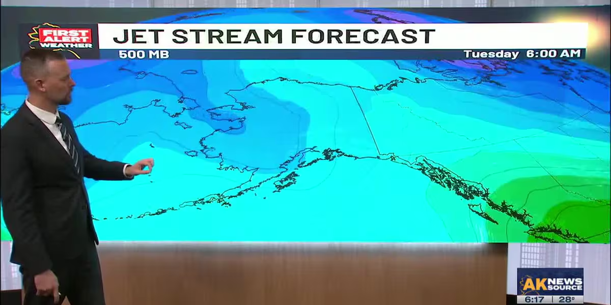
While there are no signs of any significant cold across the state, temperatures are slowly trending down across the state. This, combined with what could be above normal precipitation over the next two weeks, will lead to a few shots of seeing some snow in Southcentral. Looking at the trends as of this morning, it’s likely we could go some time before we see any significant snow accumulation across Southcentral.
Download the free Alaska’s News Source Weather App.
Send us your weather photos and videos here!
24/7 Alaska Weather: Get access to live radar, satellite, weather cameras, current conditions, and the latest weather forecast here. Also available through the Alaska’s News Source streaming app available on Apple TV, Roku, and Amazon Fire TV.
Copyright 2025 Alaska’s News Source. All rights reserved.


