If the system tracks southward, snowfall is possible near the 401 corridor, while a northern track could introduce rain or a rain-snow mix, particularly for areas like the GTA lakeshore, Niagara, and Ottawa where temperatures may hover slightly above 0°C.
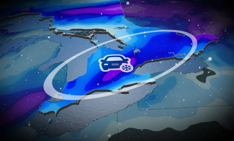
Snow is most likely in regions north of the 401, snowbelts, higher elevations, and areas further east, where accumulation could disrupt travel.
Temperatures close to or below 0°C Sunday morning and afternoon will support potential snow-covered or icy roads, increasing the risk of slow driving conditions.
Road closures north of the 401 are also possible. Residents without winter tires should exercise extreme caution.
Current storm confidence and uncertainty: All eyes on the track
There is a potential for 5-15 cm of snowfall in the hardest-hit areas, though there is still uncertainty about the exact locations. Regions north of the 401 and the snowbelts are the most likely to see significant accumulation.
DON’T MISS: Abrupt transition to winter: Canada’s 2025-26 winter sneak peek
The storm track will play a key role in determining snowfall amounts, as any shift in its path could lead to substantial changes.