4Warn Weather – Say it isn’t snow!
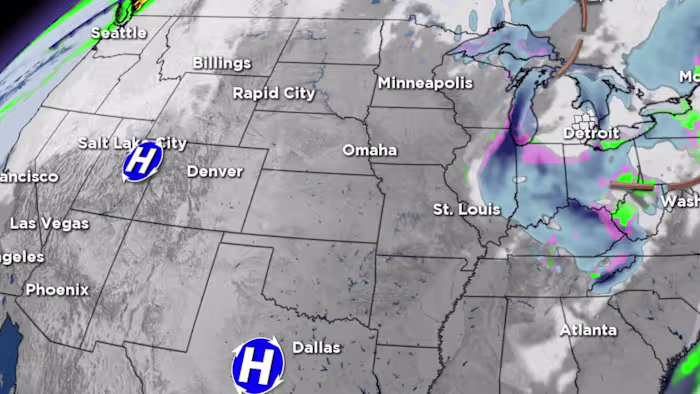
Fall comes to a screeching halt this weekend as the first snowflakes of the season start flying in Metro Detroit.
But before we get to the snow, we have a rainy, windy day on tap to end the workweek.
A wet morning commute followed by a slow tapering of the rain on Friday afternoon and evening.
Highs will be above average in the upper 50s.
Winds really pick up in the afternoon with gusts over 30mph at times.
A bit cooler air moves in for Saturday.
Plenty of clouds around, but should stay dry until late evening and overnight.
Highs on Saturday will be in the upper 40s.
Rain possibly mixed with snow arrives Saturday night into Sunday.
But the coldest air and a change over to all snow looks to occur Sunday night into Monday.
A tenth of an inch is needed to count as the first snow officially. Looks like that won’t be a problem.
The question is: how much more will we get than that?
The best chance to see an inch of snow is in the northwest part of Metro Detroit.
But this is a tricky forecast that needs to be fine-tuned on Friday.
Find the latest forecast from the 4Warn Weather team here
Remember to download the free 4Warn weather app — it’s easily one of the best in the nation. Just search your app store under WDIV, and it’s right there, available for both iPhones and Androids! Or click the appropriate link below.
Copyright 2025 by WDIV ClickOnDetroit – All rights reserved.