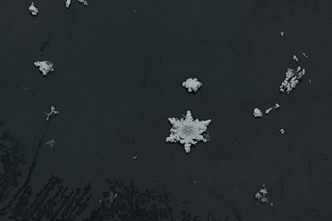
Don’t get your hopes up, but there is a small chance a few could see a snowflake or two Sunday or Monday as a blast of cold air rolls into Alabama.
Most will not see any flurries, and no accumulations are expected.
However, the National Weather Service in Huntsville mentioned on Saturday that there will be a low chance or a rain/snow mix for parts of north Alabama from Sunday afternoon until Sunday evening, and again — possibly — early Monday morning.
Forecasters noted that “no impactful snowfall accumulations are forecast.”
Still, it could make the upcoming cold blast a little more exciting.
The weather service is warning that temperatures will plummet across the state starting on Sunday, and there will be the chance for some record low temperatures in parts of the state both Sunday night and on Monday night.
The Monday night-Tuesday morning temperatures are expected to be the coldest statewide, and many spots will fall to or well below the freezing point, according to the weather service.
If you purchase a product or register for an account through a link on our site, we may receive compensation. By using this site, you consent to our User Agreement and agree that your clicks, interactions, and personal information may be collected, recorded, and/or stored by us and social media and other third-party partners in accordance with our Privacy Policy.