Through the event, the heaviest-hit regions in higher elevations and near the 401 and 407 could see 5-10 cm of snowfall. Any region that sees sustained, wet snow through Sunday evening has the potential to accumulate close to 10 cm of snow by Monday morning. Residents without winter tires should exercise caution.
WATCH: Southern Ontario preparing for accumulating snow Sunday
Areas from the Greater Toronto Area (GTA) to the Niagara region are forecast to generally see less than 5 cm of snowfall, with the lowest amounts near the lakeshores.
Regions north of the GTA will naturally accumulate snowfall including areas such as Milton, Guelph, Brampton, Richmond Hill, Newmarket, all of which are likely to receive more than 5 cm of snowfall.
DON’T MISS: Toronto to go dark again as it nears final 5 p.m. sunset until 2026
As the system continues to track east, regions that transitioned to a wintry mix will have the opportunity to transition back to heavy, wet snow Sunday evening–including Hamilton and Niagara (5+ cm is possible). That part of the forecast is the least confident, and needs to be monitored carefully.
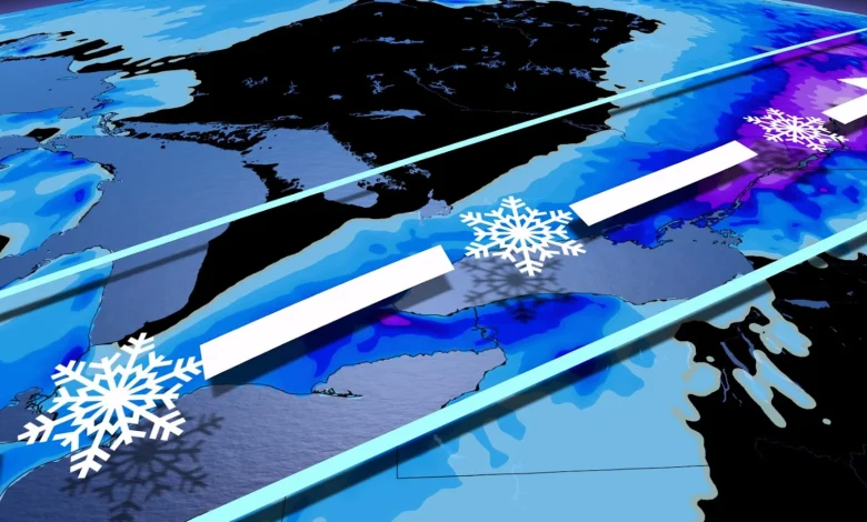
Heavy snow is forecast to move into eastern Ontario by early Sunday evening, giving some of the highest snowfall totals for the province.
A deeper supply of colder air means Ottawa’s precipitation will remain as snowfall for the duration of the event, with a wintry mix through the evening and overnight near and along Highway 401 between Kingston and Cornwall.10-20 cm of snow is forecast across extreme eastern Ontario, with lesser amounts farther north and west.