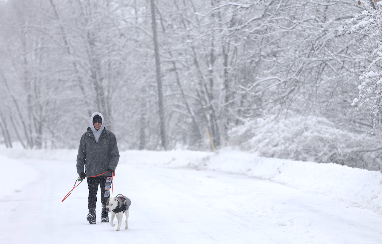
Syracuse, N.Y. — The season’s first lake effect snowfall is expected tonight and Tuesday in Central New York as a blast of cold air whips over the Great Lakes.
Syracuse and its northern suburbs could see 3 to 7 inches of snow through early Wednesday. The southwestern tip of New York state and a strip along the south shore of Lake Ontario could get up to a foot of snow.
Strong winds could make it hard to see, and roads could get slippery on Tuesday, especially for the morning commute. Many people will be off on Tuesday for Veterans Day.
The snow is expected to start in Western New York this morning and in Central New York late this afternoon. It’s likely to continue through the day Tuesday before winding down by Wednesday morning.
The heaviest snow for Syracuse is expected to fall Tuesday morning and early afternoon.
This will be the coldest weather of the season so far. High temperatures will dip into the 20s on Tuesday, with wind chills in the teens.
A winter weather advisory has been issued for a dozen counties in Upstate New York.
“Several rounds of lake effect snow showers, wind and any heavier snow showers may reduce visibilities,” the advisory said. “Accumulations during the day will mainly be on grassy areas, but slick spots could form at night and during any heavier snow showers.”
Counties shaded in purple are under a winter weather advisory today and Tuesday for potential lake effect snow. Chautauqua coded, shaded in green, is under a more severe lake effect snow warning.National Weather Service
If you purchase a product or register for an account through a link on our site, we may receive compensation. By using this site, you consent to our User Agreement and agree that your clicks, interactions, and personal information may be collected, recorded, and/or stored by us and social media and other third-party partners in accordance with our Privacy Policy.