Snow maps show which counties could get snow in just weeks – full list

An Arctic blast is set to plunge the UK into a deep freeze later this month, with snowfall forecast for much of the country – here’s the latest on the cold snap
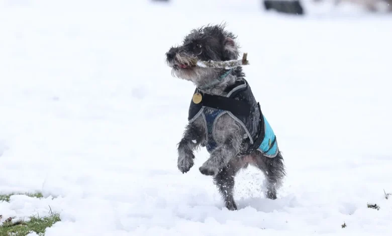
A dog enjoying the snow in Greenbank Park in Liverpool(Image: Iain Watts)
The UK is set for a significant Arctic blast later this month, with weather experts predicting widespread snow and plummeting temperatures across the nation. The latest WXCharts weather maps, produced on Sunday, November 9, suggest that much of the UK could experience a wintry shift by Sunday, November 23, as icy air sweeps in from the north.
Scotland is anticipated to feel the chill most severely, with the Highlands and parts of Aberdeenshire potentially seeing snow depths of up to 18 to 20cm. The latest GFS weather maps show deep snow accumulation, indicated by purple shading, extending from Inverness to Perth and Fife, while snow showers are also likely across the Central Belt and even into Edinburgh.
Northern England and parts of Wales are also predicted to see snow, with white showers forecast for the Pennines, Cumbria and North Wales. Areas around Manchester, Newcastle and the Peak District may find themselves waking up to a light dusting, while the Midlands could experience a combination of sleet and rain.
Further south, conditions are expected to stay wet and cold, with temperatures nearing freezing overnight on Sunday.
A second weather map, displaying maximum temperatures for November 23, also produced on Sunday, indicates that by the early hours of Sunday, November 23, temperatures could drop to approximately -1C to -2C in the Highlands, with frost developing across central and northern areas.
Further south, temperatures of 0C to 3C are predicted for northern England and sections of Wales, whilst the Midlands and southern England will remain between 4C and 7C, reports the Express.
The Highlands and parts of Aberdeenshire seeing snow depths of up to 18 to 20cm(Image: WXCharts)
The Met Office’s current long-range weather forecast for November 22 through to December 6 reads: “Whilst the expected weather patterns during late November are highly uncertain, there is a greater chance of spells of high pressure during this period, bringing more in the way of dry weather compared to the current weather pattern, which also increases the chances of overnight fog and frost.
“There will probably still be some spells of rain, showers, and stronger winds though, especially in the west. Hill snow is also a possibility, mainly in the north. Overall, near or slightly above average temperatures are most likely, though some colder spells are also possible, especially should any prolonged settled spells develop.”
WXCharts models indicate a powerful high-pressure system forming to the west of Ireland, channelling cold Arctic air directly towards the UK. Consequently, widespread frost and icy conditions are expected to follow, delivering a genuine taste of winter as November comes to an end.
Counties to get snow on November 23
WXCharts models show a strong high-pressure system building to the west of Ireland, funnelling cold Arctic air straight towards the UK. As a result, widespread frost and icy conditions are likely to follow, bringing a true taste of winter as November draws to a close.
Scotland:
- Highland (Inverness area)
- Aberdeenshire
- Moray
- Perth and Kinross
- Angus
- Stirling
- Fife
- Argyll and Bute
- Aberdeenshire (coastal and inland portions)
- Dumfries and Galloway (southern edge)
Northern Ireland:
- County Antrim
- County Londonderry
- County Down
England:
- Northumberland
- Cumbria
- County Durham
- North Yorkshire
- West Yorkshire
- Lancashire
- Greater Manchester
- Derbyshire (Peak District area)
- Cheshire
- Shropshire
Wales:
- Gwynedd
- Powys


