Ireland is set for a significant shift in weather next week, with Met Eireann forecasting a change to colder and more settled conditions.
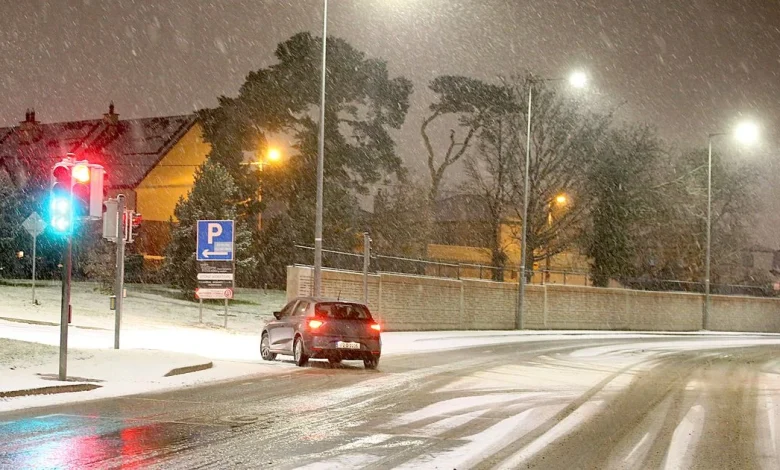
Ireland could see the first snow of the season(Image: Stephen Collins /Collins Photos)
Ireland looks set to face a bitterly cold Arctic blast next week, with weather models indicating temperatures could plunge as low as -2C and the first snow showers of the season possibly falling in some areas.
After weeks of wet and unsettled weather, Met Eireann has confirmed a dramatic change for the week of Monday, November 17 to Sunday, November 23.
A high pressure system developing in the Atlantic is expected to push cold air down from the north over Ireland. This will bring cooler than usual temperatures, drier and more settled conditions and less rain than normal for this time of year.
The national forecaster explained: “There is a signal for a northerly air-flow to become established over Ireland during the week as a Blocking High Pressure develops in the mid-Atlantic. The weather is likely to turn somewhat more settled with rainfall totals during the week forecast to be near or below normal. Mean air temperatures are likely to trend around or slightly below the climatological average.”
While Met Eireann’s official forecast doesn’t specifically mention snow, long-range models suggest wintry conditions could develop next week, with overnight temperatures dropping below freezing in several counties
Weather models suggest snow flurries could fall in parts of Ireland on Thursday, November 20(Image: WXCharts)
These maps suggest that the earliest snow could arrive in the southwest as early as Tuesday, November 18, with further wintry showers spreading to the northwest on Wednesday, November 19, and eventually reaching the north of the country on Friday, November 21. While these models are notoriously subject to change, they give an early indication that winter conditions could be approaching.
Weather models suggest snow flurries could fall in the northwest on Wednesday, November 19(Image: WXCharts)
Temperature models also confirm a cold snap stretching from Monday, November 17 through Saturday, November 22, with freezing overnight temperatures predicted in many areas. Some counties could see temperatures drop to as low as -2C.
Weather models suggest snow flurries could fall in the north on Friday, November 21(Image: WXCharts)
Before the Arctic blast potentially arrives, unsettled weather will continue for the rest of this week. A Status Yellow weather warning is in place for Antrim, Armagh, Down, Fermanagh, Tyrone and Derry until 9pm tonight, with warnings of persistent and at times heavy rain, which may cause travel disruption and brief localised flooding.
Widespread freezing temperatures are signalled for next week(Image: Netweather.tv)
For the rest of this week, Met Eireann has said it will “stay rather unsettled with rain or showers at times and temperatures returning to normal for most areas.”
The real change is expected next week, when the combination of the northerly airflow and the Atlantic high pressure system could bring colder, drier and potentially snowy conditions to parts of Ireland.
Subscribe to our newsletter for the latest news from the Irish Mirror direct to your inbox: Sign up here.