Storm Claudia to bring heavy and disruptive rain for many

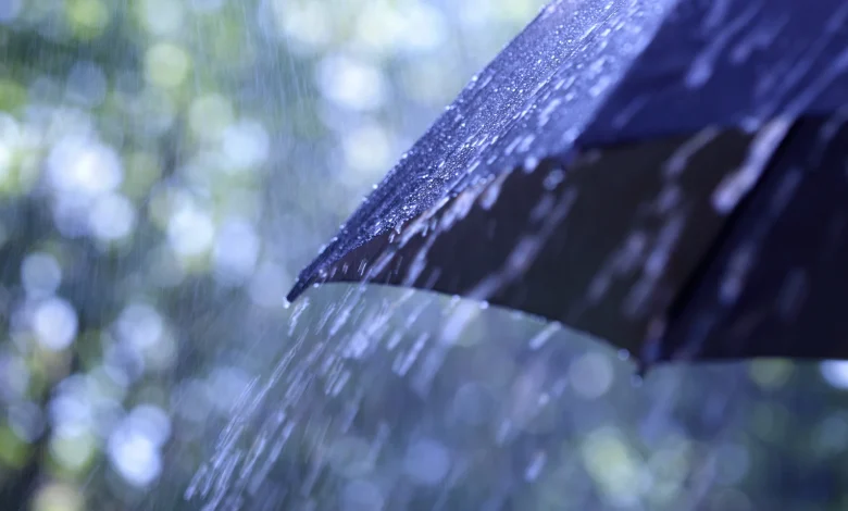
Storm Claudia will bring impactful rain for much of England and Wales on Friday and into early Saturday, with Amber warnings issued by the Met Office.
Storm Claudia, named by the Spanish Meteorological Service due to ongoing impacts in Canary Islands, has resulted in Amber rain warnings in southern and central parts of England and Wales.
Wider yellow warnings have also been issued for rain and wind, in what will be a very wet day for England and Wales. Rain will gradually spread further north through the warning areas on Friday and into the early hours of Saturday morning.
Met Office Chief Meteorologist Matthew Lehnert said: “Storm Claudia will bring very heavy rainfall to a large swathe of central and southern England and Wales on Friday into Saturday. This rain will become slow moving, and some areas could see up to a month’s worth of rain in 24 hours.
“Much of this will fall on saturated ground, increasing the chances of flooding and contributing to the Amber warnings we have issued. Within the Amber warning areas, some could see in excess of 150mm accumulate during the event, with 60-80mm fairly widely. Gusty winds in the northwest of England and northwest Wales is an additional hazard, with 60-70mph gusts possible in exposed places within the warning area.”
Warnings highlight likely travel disruption, the possibility of power cuts and flooding for some.
In contrast to many named storms, Claudia won’t directly cross the UK, though it is responsible for the heavy rain on Friday and into Saturday. The system largely maintains its position to the west of the UK, though the associated fronts will weaken through Saturday.
Check your flood risk
Alun Attwood, Duty Tactical Manager Wales at Natural Resources Wales said: “The amber and yellow rain warnings in place from the early hours of Friday and into Saturday are expected to bring significant impacts across Wales. With rivers already swollen and the ground saturated, we expect to see many flood alerts and warnings issued as a result of Storm Claudia.
“We’re urging people to be vigilant and to make preparations for potential flooding now. You can check if you live in an area at risk of flooding on our website and sign up for our free flood warning service.
“We do not provide flood warnings for flooding from surface water, so it’s important for everyone to know their flood risk.
“If flooding is forecast in your area, we want to make sure people are doing all they can to keep themselves safe. Think about preparing a flood kit with any important documents and medication, moving your car to higher ground and moving treasured possessions upstairs or to a higher place.
“We also want to remind people to keep away from swollen riverbanks and not to drive or walk through flood waters as you don’t know what lies beneath.
“Keep an eye on weather forecasts and visit our website for latest information on the flood warnings, and find practical advice on what to do before, during and after a flood.”
Ben Lukey, Flood Duty Manager at the Environment Agency, said: “Minor surface water and river flooding impacts are ongoing across the north of England today.
“Storm Claudia will bring heavy prolonged rainfall across parts of England, with significant surface water flooding probable across parts of central England on Friday, while significant river flooding impacts are also possible tomorrow and into Saturday.
“Environment Agency teams are out on the ground to clear any debris from watercourses and preparing to operate flood defences when needed. Working closely with local authorities, we are ensuring all emergency responders are aware of local flood risks and fully prepared for the arrival of Storm Claudia.
“We urge people not to drive though flood water – it is often deeper than it looks and just 30cm of flowing water is enough to float your car. They also should search ‘check my flood risk’, get free flood warnings, and keep up to date with the latest situation at @EnvAgency on X.”
Could your property be at risk of flooding? Follow this three-point plan to check and be prepared:
1. Check if your property is at risk here. If you are at risk, take the next two steps to protect your property when you need to.
2. Prepare a flood plan
3. Prepare an emergency flood kit
It’s quick and easy to check if your property is at risk of flooding. Just put your postcode in this flood risk checker to find out your risk.
A colder weekend for all
By the weekend, the north of the UK will be firmly under a colder airmass, with overnight frosts, and while there will still be some showers around, it’ll generally be a much drier and brighter spell of weather here.
Further south, the weekend will start off largely cloudy and wet, and still mild in the far south, but gradually the rain will ease and eventually clear to the south, with the drier, colder conditions further north affecting all parts by the start of next week.
Into next week, it will initially be noticeably colder everywhere, especially in the north and east, with a brisk northerly wind accentuating the colder feel and bringing the first snow of the season for some.
Keep up to date with the latest forecast for your area using our forecast pages. You can also follow us on Twitter and Facebook. Use our mobile app which is available for iPhone from the App store and for Android from the Google Play store.


