A cold front arriving in the late-afternoon hours will bring a chance for thunderstorms to the region, primarily from London to Niagara.
Behind the front, winds will shift and blow from the northwest, strengthening through the overnight hours.
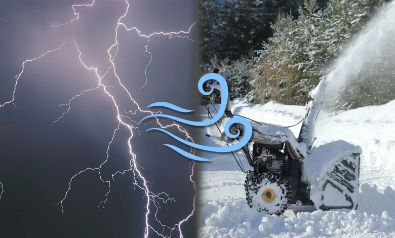
Winds pick up Sunday
Sunday will be a blustery day throughout the region. 60-80 km/h gusts are possible during the day, especially atop the escarpment and the shores of Lake Huron.
These gusty northwest winds will help whip up lake-effect squalls through the day. We’ll see the squalls become organized by Sunday evening.
Squalls off Lake Huron will be the main focus with London to Woodstock the main targets. A secondary focus will develop off Georgian Bay, with Collingwood to Highway 400 south of Barrie in line for foul weather.
Lake-effect snow squalls Monday
Gusts will ease slightly heading into the beginning of the new workweek, but the winds will remain supportive of lake-effect squalls throughout the region.