- by croatiaweek
- November 16, 2025
-
in
News
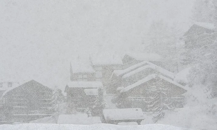
Arctic blast on the way
Croatia is bracing for a sharp change in weather at the start of the new week as an Arctic air mass sweeps into western and southwestern Europe, triggering a significant drop in temperatures and bringing the first proper blast of winter.
After a mild and unsettled week, Sunday remains warmer than average and partly sunny across much of the country but temperatures are set to drop.
A marked shift arrives on Monday. Cloudy skies and periods of rain are forecast nationwide, with the Adriatic facing particularly heavy rainfall. Localised thunderstorms are also possible. Eastern Croatia will likely see rain later in the day.
Strong to gale-force jugo will continue at sea before gradually turning to a weaker south-westerly.
By Monday evening, temperatures will begin to fall sharply as the Arctic front pushes further south. Snow is expected to develop in higher regions, especially in Gorski Kotar, where more substantial accumulations are likely and should remain on the ground.
Snow is also forecast for Zagreb on Saturday.
Colder Weather Across Europe
The dramatic shift is linked to a strong ridge over the North Atlantic and Greenland channelling Arctic air into western Europe. Central Europe is expected to experience the lowest temperatures by mid-week, particularly in the Alpine region, where values could drop below –10°C in higher valleys.
Morning lows between –3 and –7°C are forecast for central and southern Germany, Czechia, Slovakia, southern Poland, Slovenia, and western Hungary, while temperatures across the western Balkans are also expected to fall below freezing.
With winter making an early and forceful entrance, motorists and residents in higher areas are advised to prepare for potentially challenging conditions in the coming days.