Another storm is moving into Arizona!
TRACK LIVE RADAR HERE.
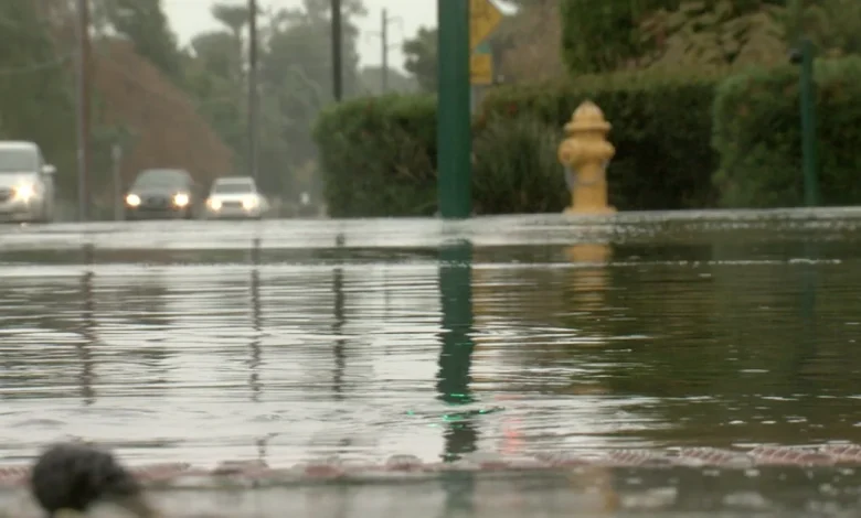
As this next storm potentially impacts your commute and outdoor plans, Tuesday and Wednesday will be ABC15 Weather Action Days as a reminder to take action to stay safe.
There is a chance of thunderstorms in the mix too which could bring high wind gusts and heavier downpours.
Forecast models are showing as much as a half an inch to an inch of rain in some Valley neighborhoods and the potential localized flash flooding near burn scars in the high country.
A Flood Watch is in effect for Mohave County through Tuesday evening.
Winds will pick up a bit, too. Peak gusts will approach 25 mph in the Valley and 35 mph in the high country this weekend. Of course, we could see stronger wind gusts associated with any thunderstorms that move through.
Up north, parts of the high country could see their first snowfall of the season with this storm by Wednesday.
Snow levels will gradually fall to around 6,500 to 7,500 feet by Wednesday evening across the high country.
Flagstaff could pick up an inch or two of snow.
Another storm system could move in this weekend, too. So, stay tuned to ABC15 and abc15.com for updates as we get closer.