Effingham, IL-(Effingham Radio)-
The National Weather Service in Lincoln has issued a
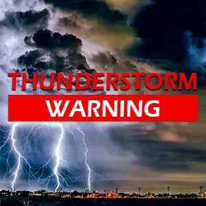
* Severe Thunderstorm Warning for…
Coles County in east central Illinois…
Edgar County in east central Illinois…
Clark County in east central Illinois…
Northeastern Cumberland County in east central Illinois…
Eastern Douglas County in east central Illinois…
* Until 300 PM CST.
* At 211 PM CST, severe thunderstorms were located along a line
extending from near Camargo to Rardin to near Charleston, moving
east at 55 mph.
HAZARD…60 mph wind gusts and quarter size hail.
SOURCE…Radar indicated.
IMPACT…Hail damage to vehicles is expected. Expect wind damage
to roofs, siding, and trees.
* Severe thunderstorms will be near…
Charleston, Oakland, Newman, Kansas, Ashmore, and Brocton around
215 PM CST.
Westfield around 220 PM CST.
Paris around 230 PM CST.
Other locations in the path of these severe thunderstorms include
Marshall, Martinsville, Edgar County Airport and Vermilion.
This includes the following highways…
Interstate 57 between mile markers 187 and 193.
Interstate 70 between mile markers 129 and 154.
PRECAUTIONARY/PREPAREDNESS ACTIONS…
For your protection move to an interior room on the lowest floor of a
building.