After mild conditions that have persisted through much of the weekend, with 14 °C weather reported in Claresholm on Saturday, prepare for a major change and potential travel delays Sunday and into Monday as portions of Alberta and Saskatchewan brace for a blanket of fresh snow.
The wintry precipitation just ahead of Arctic air that will surge across the region starting early next week.
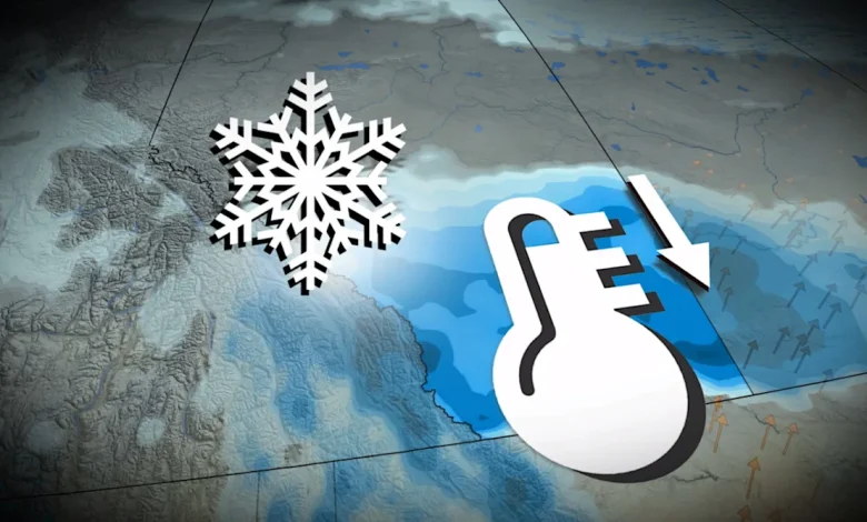
DON’T MISS: Canada’s first countrywide Arctic air outbreak arrives to end November
Visibility will likely be reduced at times. Allow extra time for travel. If driving, turn on your lights, slow down and maintain a safe following distance.
Prairies forecast conditions Sunday afternoon – Nov. 23, 2025
Snow expected to begin Sunday
Expect snow to begin in the Rockies on Sunday before pushing into the lower elevations during the evening and overnight hours as temperatures cool off.
Peak snowfall rates of 1 cm/h for Calgary are expected to occur through the morning hours on Monday, meaning travel will be locally slick for the Monday morning commute.
Winds are also forecast to pick up, gusting to 40 km/h, which could further reduce visibility and cause blowing snow over highways across southern Alberta.
RELATED: Snow paradox: Why 2 cm of snow can actually be worse than 25 cm
Alberta/Saskatchewan forecast wind and snow Monday morning – Nov. 23, 2025
For southern Saskatchewan, periods of light snow develops early Monday morning, with accumulations through much of the day before it eases in the evening and overnight in southeastern sections.
We should see peak snowfall rates reach 0.5 cm/h on Monday afternoon and into the evening hours. Most of the snowfall accumulations are forecast to fall along and south of the Trans-Canada Highway.
Snowfall projections
Prairies snowfall outlook through Monday
-
Medicine Hat: About 10 cm
In Alberta, Nakiska, Banff Sunshine, Lake Louise, and Hidden Valley (Cypress Hills) ski resorts can expect 10-20 cm of fresh snowfall through Monday.
Calgary’s forecast is a bit more tricky as this event could either be a boom or a bust. If dry air and current drought conditions work to limit snowfall rates, we could see the heaviest of the snow push south, limiting Calgary’s snow totals to around 5 cm.
On the other hand, if we see moisture lift into a narrow corridor focused over Calgary, we could see a heavier band of snowfall over the city and see snow totals exceed 15 cm.
Overall, this isn’t much snow—but a small coating of snow can be more dangerous on the roads than double-digit totals.
Western Canada clipper cooldown
Drivers should expect a slow Monday morning commute, with travel impacts possible on the QE2 south of Calgary, as well as along and south of the Trans-Canada Highway.
A typical November usually generates 20 cm of snow for Calgary, but so far, it has only seen 3.2 cm to date.
Since September, only 9.6 mm of precipitation has been recorded, just 14 per cent of the average.
Early-December anomaly Canada
Behind this system lurks a surge of Arctic air that promises to send temperatures tumbling below the freezing mark for an extended period of time. Very cold conditions are likely by the end of next week into the following weekend.
Stay with The Weather Network for all the latest on conditions across the region.
WATCH: Arctic air outbreak envelops Canada to end November
Click here to view the video